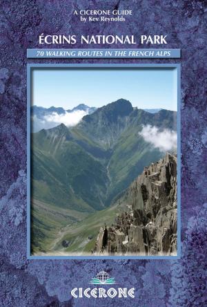
| Author: | Kev Reynolds | ISBN: | 9781783625307 |
| Publisher: | Cicerone Press | Publication: | July 31, 2017 |
| Imprint: | Cicerone Press | Language: | English |
| Author: | Kev Reynolds |
| ISBN: | 9781783625307 |
| Publisher: | Cicerone Press |
| Publication: | July 31, 2017 |
| Imprint: | Cicerone Press |
| Language: | English |
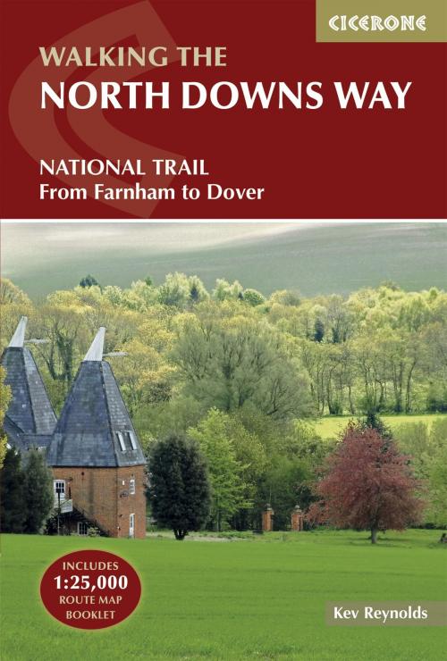
The North Downs Way National Trail is a 130 mile (208km) between the high downland of Farnham and the historic city of Dover on the Kent coast. The route is described in 11 day stages from west to east with an optional detour via Canterbury. Step-by-step route descriptions are fully illustrated with colour photographs and extracts from OS 1:50,000 mapping for every stage. The guidebook comes with a separate map booklet of 1:25,000 scale OS maps showing the full route of the North Downs Way. Clear step-by-step route descriptions in the guide link together with the map booklet at each stage along the Way, and the compact format is conveniently sized for slipping into a jacket pocket or the top of a rucksack. The North Downs Way is one of the easier national trails with a modest number of steep (but short) ascents and descents and long sections with no noticeable height gain or loss. Several historic sites including Neolithic burial chambers, Roman roads and Norman churches are passed and much of the route follows The Pilgrims' Way.
The North Downs Way National Trail is a 130 mile (208km) between the high downland of Farnham and the historic city of Dover on the Kent coast. The route is described in 11 day stages from west to east with an optional detour via Canterbury. Step-by-step route descriptions are fully illustrated with colour photographs and extracts from OS 1:50,000 mapping for every stage. The guidebook comes with a separate map booklet of 1:25,000 scale OS maps showing the full route of the North Downs Way. Clear step-by-step route descriptions in the guide link together with the map booklet at each stage along the Way, and the compact format is conveniently sized for slipping into a jacket pocket or the top of a rucksack. The North Downs Way is one of the easier national trails with a modest number of steep (but short) ascents and descents and long sections with no noticeable height gain or loss. Several historic sites including Neolithic burial chambers, Roman roads and Norman churches are passed and much of the route follows The Pilgrims' Way.