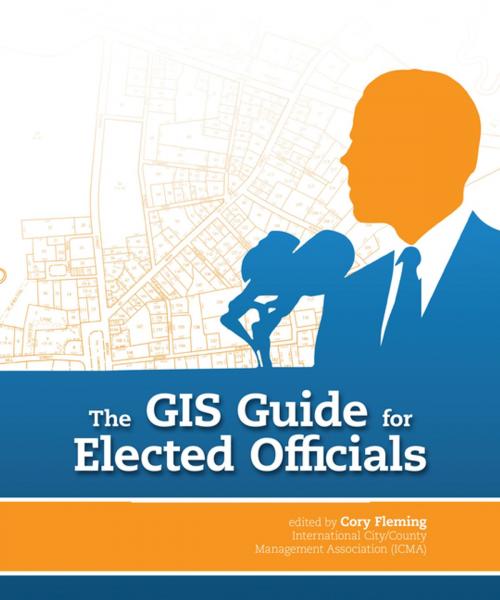
The GIS Guide for Elected Officials
Nonfiction, Social & Cultural Studies, Political Science, Politics, Regional Planning| Author: | ISBN: | 9781589483538 | |
| Publisher: | Esri Press | Publication: | January 6, 2014 |
| Imprint: | Esri Press | Language: | English |
| Author: | |
| ISBN: | 9781589483538 |
| Publisher: | Esri Press |
| Publication: | January 6, 2014 |
| Imprint: | Esri Press |
| Language: | English |
The GIS Guide for Elected Officials is a valuable resource for government officials who want to better understand how to use geographic information systems (GIS) to answer location-based questions such as the following:
-Can work crews respond more efficiently to service calls?
-Where do police and fire department calls for service originate?
-Does citizen satisfaction with city services vary across the community?
-Are calls for service originating from the same neighborhood about the same problem, and why?
The use cases in The GIS Guide for Elected Officials show the wide range of problems GIS can help solve, including determining potential markets for a start-up business, responding to the needs of a community during a disaster, and identifying urban food deserts. Designed to enable governments to learn from the experience of others, this volume also includes a review of what it takes to build and maintain a strong GIS program in light of rapidly changing technology and shrinking government budgets.
