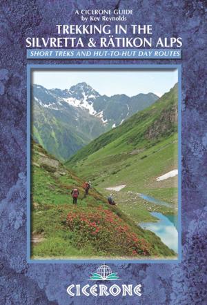
The Cotswold Way
NATIONAL TRAIL Two-way trail guide - Chipping Campden to Bath
Nonfiction, Travel, Europe, Great Britain, Sports, Outdoors, Hiking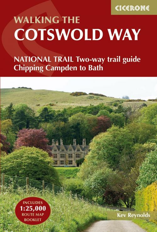
| Author: | Kev Reynolds | ISBN: | 9781783623013 |
| Publisher: | Cicerone Press | Publication: | March 31, 2016 |
| Imprint: | Cicerone Press | Language: | English |
| Author: | Kev Reynolds |
| ISBN: | 9781783623013 |
| Publisher: | Cicerone Press |
| Publication: | March 31, 2016 |
| Imprint: | Cicerone Press |
| Language: | English |
Guidebook to walking the Cotswold Way National Trail between Chipping Campden and Bath, across the Cotswolds AONB - which includes both a guide to the route and a separate mapping booklet. The 102 mile (163km) route is described in both directions over 13 stages, of between 6 and 10 miles, depending on the existence of overnight accommodation. Camping options are sparse along the route. This guidebook is illustrated with maps and the author's own full-colour photographs. The stage-by-stage route description is accompanied by overview maps at a scale of 1:100,000 (1cm to 1 mile). A more detailed map of the Way is supplied in booklet form, at a scale of 1:25,000, slid into the back of the book. The Cotswold Way became a National Trail in May 2007, despite having been a much-loved walking route for more than 35 years. It follows the Cotswold escarpment, with dramatic and far-reaching views across the Severn Vale towards the Welsh hills, plunging down to visit honey-coloured villages, old market towns and the elegant and historic city of Bath.
Guidebook to walking the Cotswold Way National Trail between Chipping Campden and Bath, across the Cotswolds AONB - which includes both a guide to the route and a separate mapping booklet. The 102 mile (163km) route is described in both directions over 13 stages, of between 6 and 10 miles, depending on the existence of overnight accommodation. Camping options are sparse along the route. This guidebook is illustrated with maps and the author's own full-colour photographs. The stage-by-stage route description is accompanied by overview maps at a scale of 1:100,000 (1cm to 1 mile). A more detailed map of the Way is supplied in booklet form, at a scale of 1:25,000, slid into the back of the book. The Cotswold Way became a National Trail in May 2007, despite having been a much-loved walking route for more than 35 years. It follows the Cotswold escarpment, with dramatic and far-reaching views across the Severn Vale towards the Welsh hills, plunging down to visit honey-coloured villages, old market towns and the elegant and historic city of Bath.