| Author: | Eileen M. Bowlt | ISBN: | 9781445630601 |
| Publisher: | Amberley Publishing | Publication: | February 15, 2013 |
| Imprint: | Amberley Publishing | Language: | English |
| Author: | Eileen M. Bowlt |
| ISBN: | 9781445630601 |
| Publisher: | Amberley Publishing |
| Publication: | February 15, 2013 |
| Imprint: | Amberley Publishing |
| Language: | English |
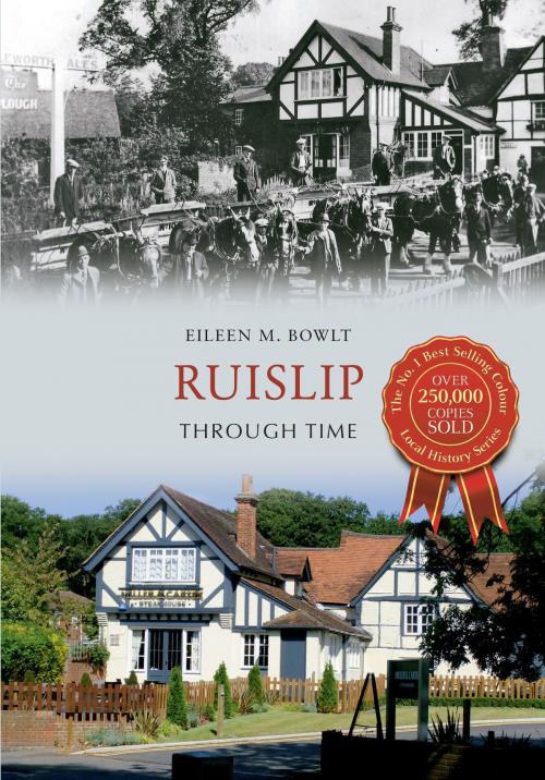
Ruislip is first mentioned in the Domesday Book of 1086. The short description 'Rislepe' reveals a heavily wooded and thinly populated area with land for twenty ploughs. An unusual feature of the landscape was 'a park for woodland animals', the northern pale of which survives as Park Wood, a scheduled ancient monument. As many of the people mentioned in the survey would have been heads of families, the population was probably between 200 and 250. The area of the manor of Ruislip in 1086 is likely to have been the same as in later times, being bounded on the north by the boundary between the counties of Middlesex and Hertfordshire, and by the parishes of Northolt to the south, Harrow on the east, and Harefield and Ickenham on the west. Local historian Eileen Bowlt charts the history of this picturesque town, explaining its development and growth through a selection of fantastic photographs.
Ruislip is first mentioned in the Domesday Book of 1086. The short description 'Rislepe' reveals a heavily wooded and thinly populated area with land for twenty ploughs. An unusual feature of the landscape was 'a park for woodland animals', the northern pale of which survives as Park Wood, a scheduled ancient monument. As many of the people mentioned in the survey would have been heads of families, the population was probably between 200 and 250. The area of the manor of Ruislip in 1086 is likely to have been the same as in later times, being bounded on the north by the boundary between the counties of Middlesex and Hertfordshire, and by the parishes of Northolt to the south, Harrow on the east, and Harefield and Ickenham on the west. Local historian Eileen Bowlt charts the history of this picturesque town, explaining its development and growth through a selection of fantastic photographs.


