Outer Banks Scenic Byway
Nonfiction, Travel, Museums, Tours, & Points of Interest, Lodging & Restaurant Guides| Author: | Douglas Stover | ISBN: | 9781439655962 |
| Publisher: | Arcadia Publishing Inc. | Publication: | April 25, 2016 |
| Imprint: | Arcadia Publishing | Language: | English |
| Author: | Douglas Stover |
| ISBN: | 9781439655962 |
| Publisher: | Arcadia Publishing Inc. |
| Publication: | April 25, 2016 |
| Imprint: | Arcadia Publishing |
| Language: | English |
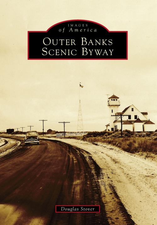
The Outer Banks National Scenic Byway stretches the length of North Carolina's 200-mile barrier islands. The unique maritime culture shared by the 21 coastal villages led to the road's designation as a National Scenic Byway in 2009. The route is entered from the north at Whalebone Junction in Nags Head, North Carolina, and from the south at the North River Bridge on US 70 East, just past Beaufort, North Carolina. Encompassing 142.5 driving miles, six and a half hours of travel time, and two ferries, the byway traverses Hatteras Island, Ocracoke, and Down East in Dare County and Hyde and Carteret Counties. This book explores the region's rich maritime history, culture, and traditions, such as boatbuilding, decoy carving, fishing, lighthouse-keeping, and living with the powerful forces of water and wind. Travelers can experience local seafood, ascend three lighthouses, and discover outdoor trails and endless miles of marsh and beaches offering bird-watching and solitude.
The Outer Banks National Scenic Byway stretches the length of North Carolina's 200-mile barrier islands. The unique maritime culture shared by the 21 coastal villages led to the road's designation as a National Scenic Byway in 2009. The route is entered from the north at Whalebone Junction in Nags Head, North Carolina, and from the south at the North River Bridge on US 70 East, just past Beaufort, North Carolina. Encompassing 142.5 driving miles, six and a half hours of travel time, and two ferries, the byway traverses Hatteras Island, Ocracoke, and Down East in Dare County and Hyde and Carteret Counties. This book explores the region's rich maritime history, culture, and traditions, such as boatbuilding, decoy carving, fishing, lighthouse-keeping, and living with the powerful forces of water and wind. Travelers can experience local seafood, ascend three lighthouses, and discover outdoor trails and endless miles of marsh and beaches offering bird-watching and solitude.


