| Author: | Lawrence Fox III | ISBN: | 9781589484313 |
| Publisher: | Esri Press | Publication: | March 28, 2016 |
| Imprint: | Esri Press | Language: | English |
| Author: | Lawrence Fox III |
| ISBN: | 9781589484313 |
| Publisher: | Esri Press |
| Publication: | March 28, 2016 |
| Imprint: | Esri Press |
| Language: | English |
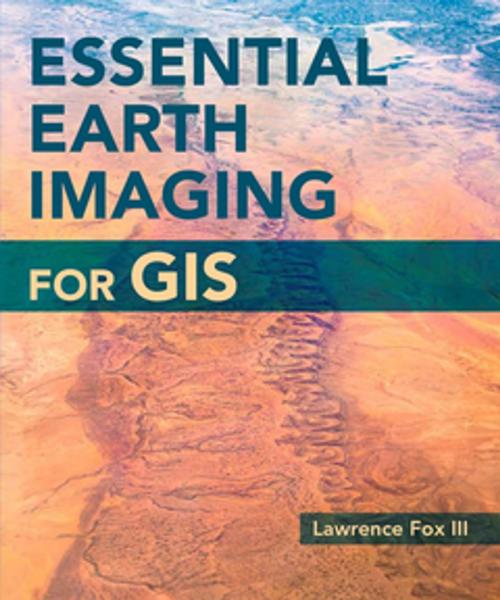
A guide to imaging technology and management, Essential Earth Imaging for GIS discusses characteristics of images obtained from aircraft and spacecraft, and how to enhance, register, and visually interpret multispectral imagery and point clouds. Geographic information system (GIS) professionals can use this book to learn about basic imaging technology. Students can use this book as a reference for introductory GIS courses that include multispectral image display and analysis.
Note: This e-book requires ArcGIS software. You can download the ArcGIS Trial at http://www.esri.com/arcgis/trial, contact your school or business Esri Site License Administrator, or purchase a student or individual license through the Esri Store.


