Mark Tukman: 1 book
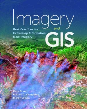
Imagery and GIS
Best Practices for Extracting Information from Imagery
Language: English
Release Date: October 25, 2017
Imagery and GIS, working together, expand our perspective so that we can better perceive and understand The Science of Where™.
Today, most maps include imagery in the form of aerial photos, satellite images, thermal images, digital elevation models, and scanned maps. Imagery and GIS: Best Practices...

