Kass Green: 2 books
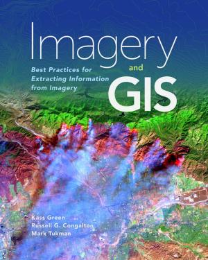
Imagery and GIS
Best Practices for Extracting Information from Imagery
Language: English
Release Date: October 25, 2017
Imagery and GIS, working together, expand our perspective so that we can better perceive and understand The Science of Where™.
Today, most maps include imagery in the form of aerial photos, satellite images, thermal images, digital elevation models, and scanned maps. Imagery and GIS: Best Practices...
Assessing the Accuracy of Remotely Sensed Data
Principles and Practices, Third Edition
Language: English
Release Date: August 8, 2019
The past 10 years have brought amazing changes to the technologies used to turn remotely sensed data into maps. As a result, the principles and practices necessary for assessing the accuracy of those maps have also evolved and matured. This third edition of Assessing the Accuracy of Remotely Sensed...

