Atlases category: 157 books
by Central Intelligence Agency
Language: English
Release Date: February 10, 2013
Language: English
Release Date: February 10, 2013
An Essential Reference for Everyone
This book is the most up-to-date and reliable source of information about all the countries of the world. The CIA World Factbook is used by government officials, researchers, news organizations, corporations, geographers, teachers, professors, librarians,...
by Barkham Burroughs
Language: English
Release Date: April 20, 2016
Language: English
Release Date: April 20, 2016
Universal Assistant and Treasure House of Information to be Consulted on Every Question That Arises in Everyday Life by Young and Old Alike! Including: 521 Recipes * 236 Remedies * 150 Themes for Debate * How to Be Handsome * Mother Shipton's Prophesy * The Cure for Baldness * How to Distinguish Death...
Maps of War
Mapping Conflict Through the Centuries
Language: English
Release Date: October 18, 2018
There is little documented mapping of conflict prior to the Renaissance period, but, from the 17th century onwards, military commanders and strategists began to document the wars in which they were involved and later, to use mapping to actually plan the progress of a conflict. Using contemporary maps,...
by Ralph T. Hutchings, Bari M. Logan, MA FMA Hon MBIE MAMAA
Language: English
Release Date: October 25, 2011
Language: English
Release Date: October 25, 2011
McMinn's Color Atlas of Foot and Ankle Anatomy, by Bari M. Logan and Ralph T. Hutchings, uses phenomenal images of dissections, osteology, and radiographic and surface anatomy to provide you with a perfect grasp of all the lower limb structures you are likely to encounter in practice or in the anatomy...
by
Language: English
Release Date: August 8, 2003
Language: English
Release Date: August 8, 2003
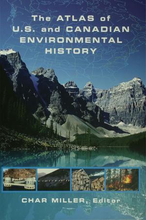
This visually dynamic historical atlas chronologically covers American environmental history through the use of four-color maps, photos, and diagrams, and in written entries from well known scholars.Organized into seven categories, each chapter covers: agriculture * wildlife and forestry * land use and management * technology and industry * polluti

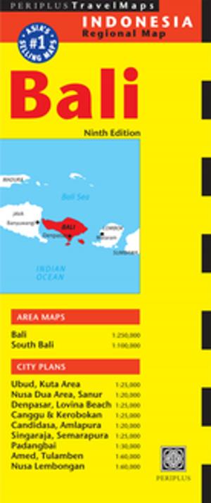
Bali Street Atlas Third Edition
Bali's Most Up-To-Date Street Atlas
Language: English
Release Date: February 12, 2013
Detailed regional and town maps are presented, with dense town areas and prominent resorts shown at 1:10,000 to 1:25,000 scale for detailed coverage. Altogether there are 50+ maps for easy location of places, buildings and other places of interests.
Durham’s Place-Names of California’s Central Coast
Includes Santa Barbara, San Luis Obispo, San Benito, Monterey & Santa Cruz Counties
Language: English
Release Date: August 31, 2012
• Sutil Island, a 1,250 foot-long island, 1,900 feet off the southwest end of Santa Barbara Island was named after one of merchant-explorer Sebastian Vizcaino’s ships.
• Gaspar de Portola founded Presidio of San Carlos Borromeo de Monterey,...
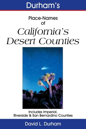
Durham’s Place-Names of California’s Desert Counties
Includes Imperial, Riverside and San Bernardino Counties
Language: English
Release Date: August 31, 2012
• The name Rancho Cucamonga, derived from an Indian word, suffered a number of bizarre spellings by early Americans including, Coco Mongo Ranch, Cocomouga’s Ranch, Qui-qual-mun-go Ranch, Kikal Mungo ranch and Rancho Cocoa-Mungo.
• A place...

Durham’s Place-Names of California’s Gold Country
Including Yosemite National Park, Madera, Mariposa, Tuolumne, Calaveras, Amador, El Dorado, Placer, Sierra & Nevada Counties
Language: English
Release Date: September 5, 2012
• Above-ground graves resembling small, outdoor ovens furnished the name for the Mariposa County village of Hornitos. Hornitos is a Spanish word that means “little ovens.”
• In 1885, Alexander Kirkwood founded a hotel called Rattlesnake...
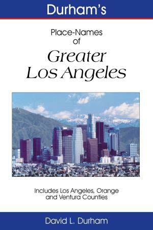
Durham’s Place-Names of Greater Los Angeles
Includes Los Angeles, Ventura, and Orange Counties
Language: English
Release Date: September 5, 2012
• The pueblo that became the city was established in 1781 as “El Pueblo de Nuestra Señora la Reina de los Angeles de la Porciuncula.” A hill located less than 1,000 feet from Los Angeles city hall was used as a base during the first American occupation of Los...

by William Thorndale, William Dollarhide
Language: English
Release Date: January 1, 1987
Language: English
Release Date: January 1, 1987
This work shows all U.S. county boundaries from 1790 to 1920. On each of the nearly 400 maps the old county lines are superimposed over the modern ones to highlight the boundary changes at ten-year intervals. Also included are a history of census growth; the technical facts about each census; a discussion...
Durham’s Place Names of California’s North Coast
Includes Del Norte, Humboldt, Lake, Mendocino & Trinity Counties
Language: English
Release Date: September 10, 2012
• Wounded Knee Mountain in Del Norte County got its name from an incident suffered by an Unites States Geological Survey employee who was working in the neighborhood in 1915. The mountain sits just one and a half miles west of Broken Rib Mountain, another sore spot in California’s...
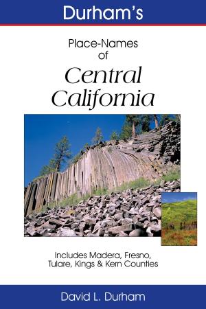
Durham’s Place-Names of Central California
Includes Madera, Fresno, Tulare, Kings & Kern Counties
Language: English
Release Date: August 31, 2012
• Steven Barton founded the town of Isabella near the Kern River and named it for Queen Isabella of Spain in 1893, the year of the Columbian Exposition celebrating the quadricentennial of the discovery of America. Sixty years later, a dam was built on the river and the original...
by
Language: English
Release Date: May 6, 2014
Language: English
Release Date: May 6, 2014
The Bali Travel Map from Periplus is designed as a convenient, easy-to-use tool for travelers. Created using durable coated paper, this map is made to open and fold multiple times, whether it's the entire map that you want to view or one panel at a time.
Following highways and byways, this...