| Author: | Kyle M. Page, Anderson Falls Heritage Society | ISBN: | 9781439650301 |
| Publisher: | Arcadia Publishing Inc. | Publication: | March 16, 2015 |
| Imprint: | Arcadia Publishing | Language: | English |
| Author: | Kyle M. Page, Anderson Falls Heritage Society |
| ISBN: | 9781439650301 |
| Publisher: | Arcadia Publishing Inc. |
| Publication: | March 16, 2015 |
| Imprint: | Arcadia Publishing |
| Language: | English |
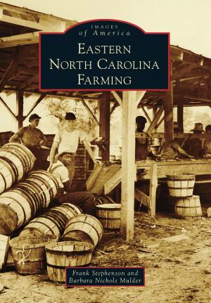
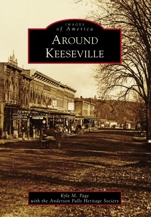
Nestled in the northernmost section of the Adirondack Mountains, the communities of Keeseville, Port Kent, Ausable Chasm, Clintonville, Harkness, Port Douglas, Ausable, and Chesterfield provided early settlers of the 1800s with a wealth of natural resources in wood, iron, and stone. The Ausable Chasm and Ausable River provided the natural power to refine the materials on-site, while the nearby Lake Champlain provided the transportation to the rest of the world. For early America, this was a booming community that rapidly grew from the 1850s until the 1920s, when modernized transportation and factories around the country made the fairly isolated area less cost-effective. Today, Keeseville is a quiet stop on the Northway that connects New York City and Albany to Montreal. Impressive bridges, closed factories, and some old grand architecture are remnants of the glory days of the once-booming community.
Nestled in the northernmost section of the Adirondack Mountains, the communities of Keeseville, Port Kent, Ausable Chasm, Clintonville, Harkness, Port Douglas, Ausable, and Chesterfield provided early settlers of the 1800s with a wealth of natural resources in wood, iron, and stone. The Ausable Chasm and Ausable River provided the natural power to refine the materials on-site, while the nearby Lake Champlain provided the transportation to the rest of the world. For early America, this was a booming community that rapidly grew from the 1850s until the 1920s, when modernized transportation and factories around the country made the fairly isolated area less cost-effective. Today, Keeseville is a quiet stop on the Northway that connects New York City and Albany to Montreal. Impressive bridges, closed factories, and some old grand architecture are remnants of the glory days of the once-booming community.