| Author: | Doug Gelbert | ISBN: | 9781458040428 |
| Publisher: | Doug Gelbert | Publication: | March 5, 2011 |
| Imprint: | Smashwords Edition | Language: | English |
| Author: | Doug Gelbert |
| ISBN: | 9781458040428 |
| Publisher: | Doug Gelbert |
| Publication: | March 5, 2011 |
| Imprint: | Smashwords Edition |
| Language: | English |
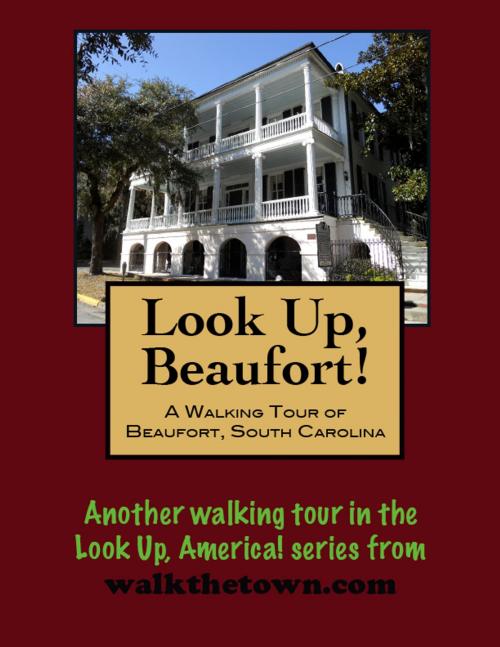
There is no better way to see America than on foot. And there is no better way to appreciate what you are looking at than with a walking tour. This walking tour of Beaufort, South Carolina is ready to explore when you are. Each walking tour describes historical, architectural landmarks, cultural sites and ecclesiastic touchstones and provides step-by-step directions.
Every tour also includes a quick primer on identifying architectural styles seen on American streets.
Spaniards first sailed into Port Royal’s harbor more than 400 years ago and by 1700, four national flags had flown over the area: Spanish, French, Scots, and English. In 1710 the Lords Proprietors decided to establish “a fort upon the river called Port Royal” for ships of Great Britain to take in masts, pitch, tar, turpentine and other naval stores. Accordingly, Beaufort Town was laid out in December 1710 and named in honor of one of the proprietors, Henry, Duke of Beaufort.
In 1715, as the settlers pushed the Indians farther inland, the Yemassee War erupted. Rampaging Yemassee Indians ravaged the settlement of Beaufort, ransacking and burning homes and slaughtering the cattle in the fields. Survivors took refuge on a ship anchored in the harbor and it would not be until 1719 that the King of England was again fully in charge of the province. The years of royal government would be stable and prosperous ones, with the export of rice and indigo to England bringing great profit. As their prosperity increased, the area planters built beautiful homes in Beaufort, entertained lavishly, and educated their sons abroad and in the colleges of New England. Shipbuilding flourished and Beaufort became known as the “wealthiest town of its size in America” during this time.
The town was occupied by the British during the American Revolution and was quickly occupied by Union forces during the War Between the States in 1861. Many of the homes were used for officer’s quarters and hospitals, and because of this, were saved from destruction. Beaufort prospered during the reconstruction era when rice and cotton were planted and exported.
Much of the current streetscape in Beaufort today was influenced by cataclysmic events that bookended the arival of the 20th century. A great hurricane scored a direct hit on town in 1893 and in 1907 a devastating fire swept through downtown streets. Fishing and truck farming carried the local economy until two military bases were constructed during the build-up to World War II. To this day the military remains the economic backbone of the collection of islands.
The original settlement of Beaufort can be found in the downtown historic area, 304 acres that have been designated a National Historic Landmark. Our walking tour of the town on the eve of its 300th birthday will begin at water’s edge and never stray more than a few blocks from defining sea...


