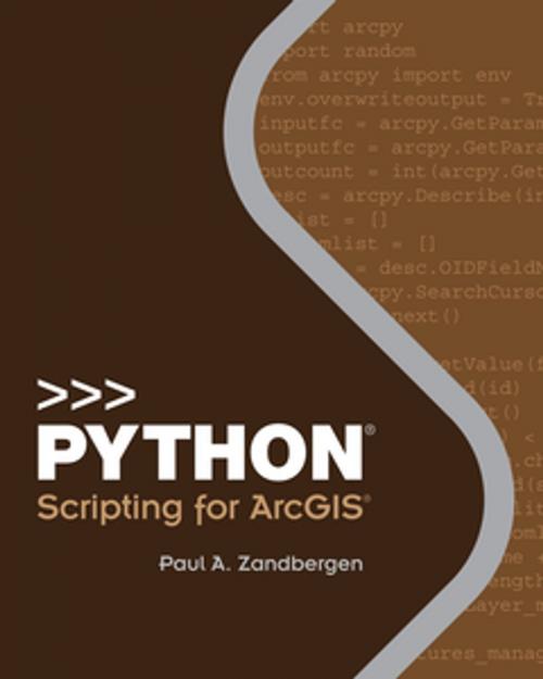
Python Scripting for ArcGIS

Nonfiction, Science & Nature, Technology, Remote Sensing, Computers, Programming, Programming Languages
Cover of the book Python Scripting for ArcGIS by Paul A. Zandbergen, Esri Press
View on Amazon View on AbeBooks View on Kobo View on B.Depository View on eBay View on Walmart
Author: Paul A. Zandbergen ISBN: 9781589483620
Publisher: Esri Press Publication: June 2, 2014
Imprint: Esri Press Language: English
Author: Paul A. Zandbergen
ISBN: 9781589483620
Publisher: Esri Press
Publication: June 2, 2014
Imprint: Esri Press
Language: English

This book is a guide for experienced users of ArcGIS® Desktop to get started with Python scripting without needing previous programming experience. Experience with other scripting or programming languages (Perl, VBA, VB script, Java, C++) is helpful but not required. Readers are expected to have good general ArcGIS skills and a basic understanding of geoprocessing procedures. There are 14 chapters with corresponding exercises on an accompanying DVD.
View on Amazon View on AbeBooks View on Kobo View on B.Depository View on eBay View on Walmart

This book is a guide for experienced users of ArcGIS® Desktop to get started with Python scripting without needing previous programming experience. Experience with other scripting or programming languages (Perl, VBA, VB script, Java, C++) is helpful but not required. Readers are expected to have good general ArcGIS skills and a basic understanding of geoprocessing procedures. There are 14 chapters with corresponding exercises on an accompanying DVD.
More books from Esri Press

Cover of the book The GIS Guide for Elected Officials by Paul A. Zandbergen
Cover of the book Instructional Guide for The ArcGIS Book by Paul A. Zandbergen
Cover of the book Designing Geodatabases for Transportation by Paul A. Zandbergen
Cover of the book The GIS 20 by Paul A. Zandbergen
Cover of the book Esri ArcGIS Desktop Professional Certification Study Guide by Paul A. Zandbergen
Cover of the book GIS Tutorial 1 by Paul A. Zandbergen
Cover of the book GIS and Cartographic Modeling by Paul A. Zandbergen
Cover of the book Making Spatial Decisions Using GIS and Lidar by Paul A. Zandbergen
Cover of the book Essential Earth Imaging for GIS by Paul A. Zandbergen
Cover of the book Analyzing Urban Poverty by Paul A. Zandbergen
Cover of the book Getting to Know ArcGIS by Paul A. Zandbergen
Cover of the book The ESRI Guide to GIS Analysis, Volume 2 by Paul A. Zandbergen
Cover of the book Understanding GIS by Paul A. Zandbergen
Cover of the book Ocean Solutions, Earth Solutions by Paul A. Zandbergen
We use our own "cookies" and third party cookies to improve services and to see statistical information. By using this website, you agree to our Privacy Policy