Making Spatial Decisions Using ArcGIS Pro
A Workbook
Nonfiction, Science & Nature, Technology, Cartography, Reference, Reference & Language, Guides & Handbooks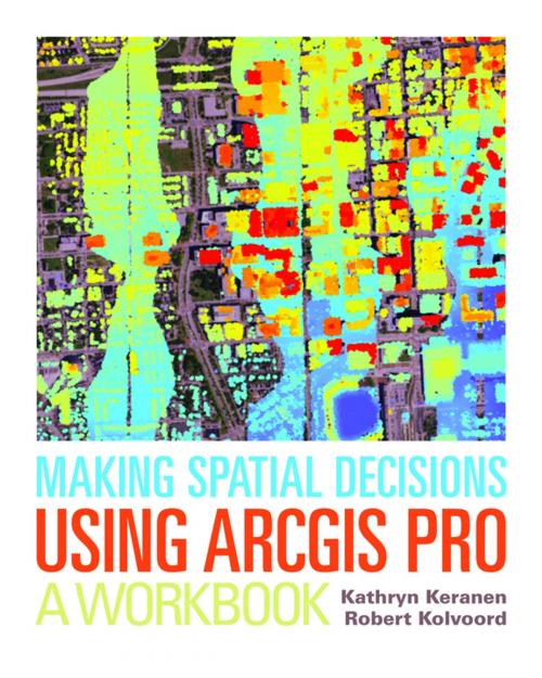
| Author: | Kathryn Keranen, Robert Kolvoord | ISBN: | 9781589484856 |
| Publisher: | Esri Press | Publication: | September 25, 2017 |
| Imprint: | Esri Press | Language: | English |
| Author: | Kathryn Keranen, Robert Kolvoord |
| ISBN: | 9781589484856 |
| Publisher: | Esri Press |
| Publication: | September 25, 2017 |
| Imprint: | Esri Press |
| Language: | English |
"How can we protect...?" "Where do we allocate...?" "What's the extent and pattern of...?" You have questions in a spatial context; Making Spatial Decisions Using ArcGIS Pro has answers based in The Science of Where™.
Making Spatial Decisions Using ArcGIS Pro is a textbook that provides the user with a broad overview of the capabilities of using ArcGIS Pro to use geospatial tools to solve real-world problems. This book takes full advantage of the integrative nature of ArcGIS Pro and its advanced capabilities to seamlessly unite cloud-based and desktop GIS. The lessons included in this book have been adapted and updated from lessons from Keranen and Kolvoord's popular first three Esri Press books: Making Spatial Decisions Using GIS, Making Spatial Decisions Using GIS and Remote Sensing, and Making Spatial Decisions Using GIS and Lidar.
Note: This e-book requires ArcGIS software. You can download the ArcGIS Trial at http://www.esri.com/arcgis/trial, contact your school or business Esri Site License Administrator, or purchase a student or individual license through the Esri Store.