Look Up, Chicago! A Walking Tour of the Magnificent Mile
Nonfiction, Travel, United States, History, Americas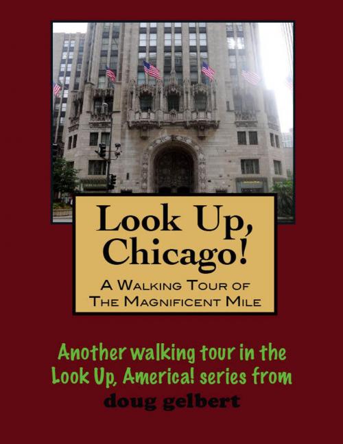
| Author: | Doug Gelbert | ISBN: | 9781466015609 |
| Publisher: | Doug Gelbert | Publication: | August 25, 2011 |
| Imprint: | Smashwords Edition | Language: | English |
| Author: | Doug Gelbert |
| ISBN: | 9781466015609 |
| Publisher: | Doug Gelbert |
| Publication: | August 25, 2011 |
| Imprint: | Smashwords Edition |
| Language: | English |
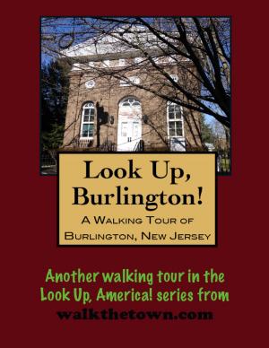
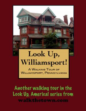
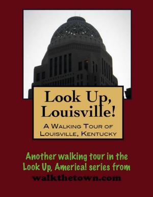
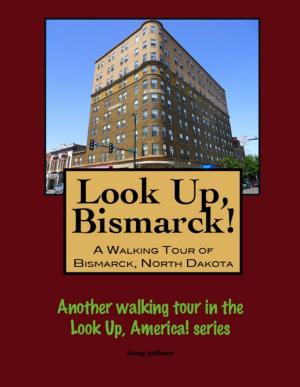
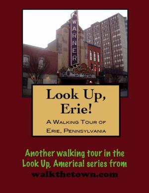
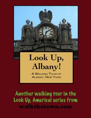
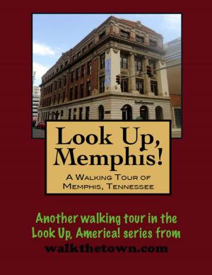
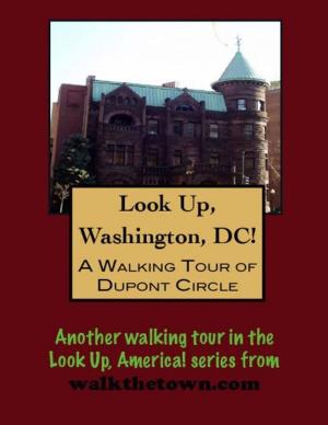
There is no better way to see America than on foot. And there is no better way to appreciate what you are looking at than with a walking tour. Whether you are preparing for a road trip or just out to look at your own town in a new way, a downloadable walking tour is ready to explore when you are.
Each walking tour describes historical and architectural landmarks and provides pictures to help out when those pesky street addresses are missing. Every tour also includes a quick primer on identifying architectural styles seen on American streets.
It was real estate developer Arthur Rubloff who first called it the Magnificent Mile in the 1940s but it was architect and urban planner Daniel Burnham who envisioned North Michigan Avenue as a "grand avenue" back in 1909. It wasn't even Michigan Avenue at the time; it was Pine Street and the only people going there were factory workers and warehousemen heading to their jobs.
Burnham saw a link between the town's business hub in the Loop and the residential area of the Gold Coast that had recently established itself as Chicago's toniest address, but not any ordinary throroughfare. Burnham wrote in his Plan for Chicago: "Make no little plans; they have no magic to stir men's blood and probably themselves will not be realized. Make big plans; aim high in hope and work, remembering that a noble and logical diagram once recorded will never die, but long after we are gone will be a living thing, asserting itself with growing intensity. Remember that our sons and grandsons are going to do things that would stagger us. Let your watchword be 'order' and your beacon 'beauty.'"
The North Central Business District Association (today the Greater North Michigan Avenue Association) was organized in 1912 to provide a unifying vision of the development of Michigan Avenue in 1912. And there was much to be done. The street would need to be much wider to be transformed into a major commercial boulevard. And Lake Michigan, then only a block away, would need to be filled in and tamed. Eventually 125 acres of landfill were created to stabilize the shoreline and control flooding.
But before the Magnificent Mile could become one of the world's premier urban communities with over 50 hotels, 250 restaurants, 400 retailers and some of the choicest office space on the planet the most important thing to do was to build a bridge. When all the great plans for North Michigan Avenue were being hatched prior to 1920 the only way to breech the Chicago River was with swing bridges. The movable bridges could be open to ship traffic for half the day and a more practical solution was needed to carry traffic from the core of downtown onto North Michigan Avenue. And the solution to that problem is where we will begin our figure-8 walking tour of the Magnificent Mile...