| Author: | Doug Gelbert | ISBN: | 9781452350660 |
| Publisher: | Doug Gelbert | Publication: | August 25, 2010 |
| Imprint: | Smashwords Edition | Language: | English |
| Author: | Doug Gelbert |
| ISBN: | 9781452350660 |
| Publisher: | Doug Gelbert |
| Publication: | August 25, 2010 |
| Imprint: | Smashwords Edition |
| Language: | English |
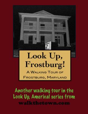
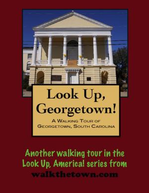
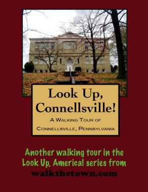
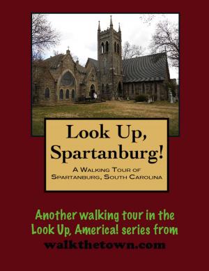
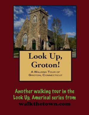
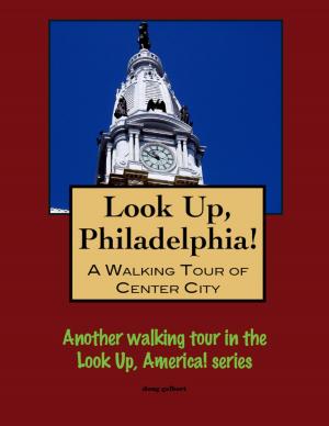
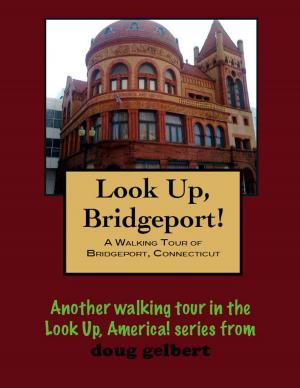
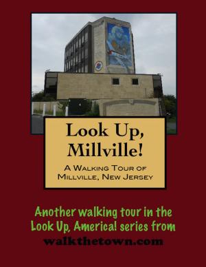
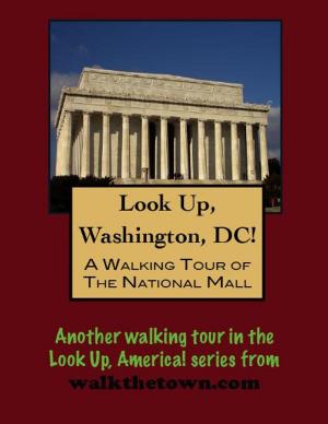
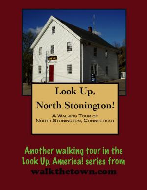
There is no better way to see America than on foot. And there is no better way to appreciate what you are looking at than with a walking tour. Whether you are preparing for a road trip or just out to look at your own town in a new way, a downloadable walking tour from walkthetown.com is ready to explore when you are.
Each walking tour describes historical and architectural landmarks and provides pictures to help out when those pesky street addresses are missing. Every tour also includes a quick primer on identifying architectural styles seen on American streets.
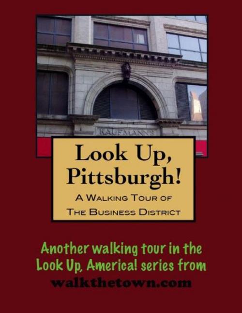
The Pittsburgh streetscape is the mirror image of its fellow urban pillar of the Commonwealth, Philadelphia. In Philadelphia, city planners made the decision to knock down most of the its building stock that came after the 1840s to promote a Colonial appearance. In Pittsburgh the city planning was dome by a fire that ignited on the southeast corner of Ferry and Second streets at noon on April 10.1845. Before the windswept flames burned themselves out virtually every building in the downtown area was gone. Only one life was lost but an estimated 1,100 houses were destroyed along with cotton-factories, iron-works, glassworks, hotels and several churches in a general desolation. So all of Pittsburgh’s buildings date to after the 1850s.
Coincidentally, this is about the time the Pennsylvania Railroad reached the Allegheny River from Philadelphia and oil was discovered north of the city near Titusville. Pittsburgh was set to explode. The city’s great industrialists - Carnegie, Frick, Oliver and Phipps - were making unthinkable fortunes in steel mills and factories and finance. And soon they were itching to throw millions of dollars into building monumental skyscrapers to their legacies.
The avenue of choice for this building splurge was Grant Avenue, historically the outer limit of Pittsburgh. Grant Avenue was at one time Grant’s Hill, a natural eastern boundary for the city but also an impediment to a growing metropolis. Over the decades some 60 feet of “the Hump” would be removed. And after the most famous architect of the 20th century, Henry Hobson Richardson, constructed the epic Allegheny County Courthouse in 1884 it ignited a wave of modern skyscrapers that converted the street into downtown Pittsburgh’s showcase thoroughfare.
Our walking tour will begin in a small park in the shadow of Pittsburgh’s tallest skyscraper and later explore the narrow 25-foot wide street that emerged as Pittsburgh’s Wall Street in the late 1800s and early 1900s...
There is no better way to see America than on foot. And there is no better way to appreciate what you are looking at than with a walking tour. Whether you are preparing for a road trip or just out to look at your own town in a new way, a downloadable walking tour from walkthetown.com is ready to explore when you are.
Each walking tour describes historical and architectural landmarks and provides pictures to help out when those pesky street addresses are missing. Every tour also includes a quick primer on identifying architectural styles seen on American streets.
The Pittsburgh streetscape is the mirror image of its fellow urban pillar of the Commonwealth, Philadelphia. In Philadelphia, city planners made the decision to knock down most of the its building stock that came after the 1840s to promote a Colonial appearance. In Pittsburgh the city planning was dome by a fire that ignited on the southeast corner of Ferry and Second streets at noon on April 10.1845. Before the windswept flames burned themselves out virtually every building in the downtown area was gone. Only one life was lost but an estimated 1,100 houses were destroyed along with cotton-factories, iron-works, glassworks, hotels and several churches in a general desolation. So all of Pittsburgh’s buildings date to after the 1850s.
Coincidentally, this is about the time the Pennsylvania Railroad reached the Allegheny River from Philadelphia and oil was discovered north of the city near Titusville. Pittsburgh was set to explode. The city’s great industrialists - Carnegie, Frick, Oliver and Phipps - were making unthinkable fortunes in steel mills and factories and finance. And soon they were itching to throw millions of dollars into building monumental skyscrapers to their legacies.
The avenue of choice for this building splurge was Grant Avenue, historically the outer limit of Pittsburgh. Grant Avenue was at one time Grant’s Hill, a natural eastern boundary for the city but also an impediment to a growing metropolis. Over the decades some 60 feet of “the Hump” would be removed. And after the most famous architect of the 20th century, Henry Hobson Richardson, constructed the epic Allegheny County Courthouse in 1884 it ignited a wave of modern skyscrapers that converted the street into downtown Pittsburgh’s showcase thoroughfare.
Our walking tour will begin in a small park in the shadow of Pittsburgh’s tallest skyscraper and later explore the narrow 25-foot wide street that emerged as Pittsburgh’s Wall Street in the late 1800s and early 1900s...