Esri Press: 52 books
by Ian Masser, Joep Crompvoets
Language: English
Release Date: January 9, 2015
Language: English
Release Date: January 9, 2015
SDI expert Ian Masser provides a practical introduction to the tasks involved in building a spatial data infrastructure (SDI) and makes clear how Europeans are taking advantage of geographic information technologies to help their citizens have quick access to location-based information. He also illuminates...
Modernizing American Land Records
Order Upon Chaos
Language: English
Release Date: December 3, 2014
Modernizing American Land Records: Order upon Chaos presents a design for a modern American Land Records System (ALRS) that provides material about both the nature and extent of land interests. This book discusses the history of American land concepts, land governance, and land records systems and...
by
Language: English
Release Date: January 26, 2015
Language: English
Release Date: January 26, 2015
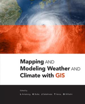
Mapping and Modeling Weather and Climate with GIS is a contributed volume of 23 chapters from leading climatologists, meteorologists, and other experts about how geospatial cartography and analysis helps to advance atmospheric science research. Coverage includes data and software resources, data representation,...
Getting to Know Web GIS
Third Edition
Language: English
Release Date: May 14, 2018
Getting to Know Web GIS, third edition, pairs fundamental principles with step-by-step exercises to teach readers how to share resources online and build Web GIS apps easily and quickly. Start now building Web apps without a single line of programming, and then move on to developing more advanced...
GIS Research Methods
Incorporating Spatial Perspectives
Language: English
Release Date: May 1, 2015
GIS Research Methods: Incorporating Spatial Perspectives shows researchers how to incorporate spatial thinking and geographic information system (GIS) technology into research design and analysis. Topics include research design, digital data sources, volunteered geographic information, analysis using...
The Look of Maps
An Examination of Cartographic Design
Language: English
Release Date: January 1, 2015
Originally published in 1952, The Look of Maps documents Arthur H. Robinson’s pivotal observation that the discipline of cartography rests at the crossroads of science and art. Based on his doctoral research, this book attempts to resolve the apparent disconnect by covering a range of topics related...
Mapping Time
Illustrated by Minard's Map of Napoleon's Russian Campaign of 1812
Language: English
Release Date: May 23, 2014
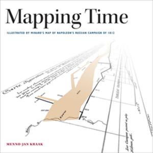
Mapping Time: Illustrated by Minard's Map of Napoleon's Russian Campaign of 1812 considers the cartographic challenge of visualizing time on a map. Inspired by graphic innovator Charles Minard’s classic map of France’s disastrous invasion of Russia, this book combines historical and geographic...
by Paul A. Zandbergen
Language: English
Release Date: June 2, 2014
Language: English
Release Date: June 2, 2014
This book is a guide for experienced users of ArcGIS® Desktop to get started with Python scripting without needing previous programming experience. Experience with other scripting or programming languages (Perl, VBA, VB script, Java, C++) is helpful but not required. Readers are expected to have...
GIS for Surface Water
Using the National Hydrography Dataset
Language: English
Release Date: June 22, 2018
TESTING ONLY
SIG de la A a la Z
Diccionario ilustrado de los sistemas de información geográfica
Language: Spanish
Release Date: January 1, 2015
As GIS technology has evolved and grown, so has the language of this powerful tool. Written, developed, and reviewed by more than 150 subject-matter experts, A to Z GIS is packed with more than 1,800 terms, nearly 400 full-color illustrations, and seven encyclopedia-style appendix articles about annotation...


