| Author: | Doug Gelbert | ISBN: | 9781452307503 |
| Publisher: | Doug Gelbert | Publication: | January 11, 2010 |
| Imprint: | Smashwords Edition | Language: | English |
| Author: | Doug Gelbert |
| ISBN: | 9781452307503 |
| Publisher: | Doug Gelbert |
| Publication: | January 11, 2010 |
| Imprint: | Smashwords Edition |
| Language: | English |
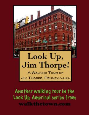
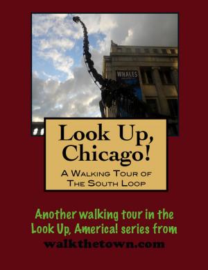
There is no better way to see America than on foot. And there is no better way to appreciate what you are looking at than with a walking tour. Whether you are preparing for a road trip or just out to look at your own town in a new way, a downloadable walking tour from walkthetown.com is ready to explore when you are.
Each walking tour describes historical and architectural landmarks and provides pictures to help out when those pesky street addresses are missing. Every tour also includes a quick primer on identifying architectural styles seen on American streets.
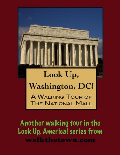
Pierre Charles L’Enfant, who laid out the street plan for the District of Columbia, Had a grand vision for the National Mall. In his view the Mall was to be the foremost avenue of the city, the so-called “Grand Avenue.” It was to run west from the Capitol to a point directly south of the President’s House where its terminus would be crowned by an equestrian statue of George Washington. According to L’Enfant’s plan, the Mall was to be “four hundred feet in breadth, and about a mile in length, bordered by gardens, ending in a slope from the houses on each side.”
To realize L’Enfant’s dream things started slowly and then petered out completely. Then the Civil War came and the Mall grounds were used for military purposes, such as bivouacking and parading troops, slaughtering cattle and producing arms. In 1872, at 6th and B Streets, a 14 acre tract was given to the Baltimore and Potomac Railroad for the construction of a depot. The railroad was also granted permission to lay tracks north to south across part of the Mall.
The National Mall was on the verge of disappearing altogether when, in 1902, Senator James McMillan of Michigan headed a commission to transform the country’s primary city park. The hundred years of unenacted grounds plans dating back to L’Enfant’s original ideas were examined. The McMillan Commission submitted their report to Congress. Their plan called for the restoration, development, and supplementation of the “Grand Avenue” ideal proposed by L’Enfant. The core of the Mall was to be a broad grass carpet, typical of those in Europe, 300 feet in breath and running the entire length of the Mall grounds, bordered on each side by four rows of American elm trees. Public buildings were to border the whole, separated from the elms by narrow roadways. The railroad station was removed from the area in 1909. Swamps would be drained; canals filled. All buildings would conform to a Neo-classical design standard calling to mind the tneets of ancient Rome and Athens.
There are nine museums on the Mall, two entrances for underground museums, and the Department of Agriculture. This walking tour begins at the east end of the mall, following along the southern edge and returning along the northern side...
There is no better way to see America than on foot. And there is no better way to appreciate what you are looking at than with a walking tour. Whether you are preparing for a road trip or just out to look at your own town in a new way, a downloadable walking tour from walkthetown.com is ready to explore when you are.
Each walking tour describes historical and architectural landmarks and provides pictures to help out when those pesky street addresses are missing. Every tour also includes a quick primer on identifying architectural styles seen on American streets.
Pierre Charles L’Enfant, who laid out the street plan for the District of Columbia, Had a grand vision for the National Mall. In his view the Mall was to be the foremost avenue of the city, the so-called “Grand Avenue.” It was to run west from the Capitol to a point directly south of the President’s House where its terminus would be crowned by an equestrian statue of George Washington. According to L’Enfant’s plan, the Mall was to be “four hundred feet in breadth, and about a mile in length, bordered by gardens, ending in a slope from the houses on each side.”
To realize L’Enfant’s dream things started slowly and then petered out completely. Then the Civil War came and the Mall grounds were used for military purposes, such as bivouacking and parading troops, slaughtering cattle and producing arms. In 1872, at 6th and B Streets, a 14 acre tract was given to the Baltimore and Potomac Railroad for the construction of a depot. The railroad was also granted permission to lay tracks north to south across part of the Mall.
The National Mall was on the verge of disappearing altogether when, in 1902, Senator James McMillan of Michigan headed a commission to transform the country’s primary city park. The hundred years of unenacted grounds plans dating back to L’Enfant’s original ideas were examined. The McMillan Commission submitted their report to Congress. Their plan called for the restoration, development, and supplementation of the “Grand Avenue” ideal proposed by L’Enfant. The core of the Mall was to be a broad grass carpet, typical of those in Europe, 300 feet in breath and running the entire length of the Mall grounds, bordered on each side by four rows of American elm trees. Public buildings were to border the whole, separated from the elms by narrow roadways. The railroad station was removed from the area in 1909. Swamps would be drained; canals filled. All buildings would conform to a Neo-classical design standard calling to mind the tneets of ancient Rome and Athens.
There are nine museums on the Mall, two entrances for underground museums, and the Department of Agriculture. This walking tour begins at the east end of the mall, following along the southern edge and returning along the northern side...