Whither the Waters
Mapping the Great Basin from Bernardo de Miera to John C. Frémont
Nonfiction, History, Americas, United States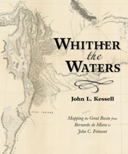
| Author: | John L. Kessell | ISBN: | 9780826358240 |
| Publisher: | University of New Mexico Press | Publication: | April 15, 2017 |
| Imprint: | University of New Mexico Press | Language: | English |
| Author: | John L. Kessell |
| ISBN: | 9780826358240 |
| Publisher: | University of New Mexico Press |
| Publication: | April 15, 2017 |
| Imprint: | University of New Mexico Press |
| Language: | English |
Bernardo de Miera y Pacheco (1713–1785) is remembered today not only as colonial New Mexico’s preeminent religious artist, but also as the cartographer who drew some of the most important early maps of the American West. His “Plano Geographico” of the Colorado Plateau and Great Basin, revised by his hand in 1778, influenced other mapmakers for almost a century. This book places the man and the map in historical context, reminding readers of the enduring significance of Miera y Pacheco. Later Spanish cartographers, as well as Baron Alexander von Humboldt, Captain Zebulon Montgomery Pike, and Henry Schenck Tanner, projected or expanded upon the Santa Fe cartographer’s imagery. By so doing, they perpetuated Miera y Pacheco’s most notable hydrographic misinterpretations. Not until almost seventy years after Miera did John Charles Frémont take the field and see for himself whither the waters ran and whither they didn’t.
Bernardo de Miera y Pacheco (1713–1785) is remembered today not only as colonial New Mexico’s preeminent religious artist, but also as the cartographer who drew some of the most important early maps of the American West. His “Plano Geographico” of the Colorado Plateau and Great Basin, revised by his hand in 1778, influenced other mapmakers for almost a century. This book places the man and the map in historical context, reminding readers of the enduring significance of Miera y Pacheco. Later Spanish cartographers, as well as Baron Alexander von Humboldt, Captain Zebulon Montgomery Pike, and Henry Schenck Tanner, projected or expanded upon the Santa Fe cartographer’s imagery. By so doing, they perpetuated Miera y Pacheco’s most notable hydrographic misinterpretations. Not until almost seventy years after Miera did John Charles Frémont take the field and see for himself whither the waters ran and whither they didn’t.