| Author: | Sheryl L. Young | ISBN: | 9780983395409 |
| Publisher: | Sheryl L. Young | Publication: | February 25, 2011 |
| Imprint: | Smashwords Edition | Language: | English |
| Author: | Sheryl L. Young |
| ISBN: | 9780983395409 |
| Publisher: | Sheryl L. Young |
| Publication: | February 25, 2011 |
| Imprint: | Smashwords Edition |
| Language: | English |
Whether you are planning a trip along Utah's Scenic Byway 12, or you are just reading for sheer pleasure, this book will provide entertaining reading to anyone who wants to learn more about the history, culture, and natural beauty that surrounds Utah's Scenic Byway 12.
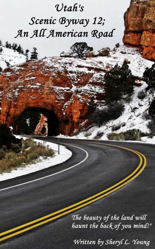
Traveling along Utah's Scenic Byway 12 is an adventure within itself. Utah's Scenic Byway 12 is a 124 mile (199.5 km) highway that travels through some of the most spectacular scenery in the Southwest. Utah's Scenic Byway 12 travels through colorful canyons, mesas, plateaus, and over towering cliffs. Utah's Scenic Byway 12 travels through portions of the Grand Staircase-Escalante National Monument; it is in close proximity to Bryce Canyon National Park, Capitol Reef National Park, the Kodachrome Basin State Park, and the Escalante Petrified Forest State Park.
In this book you will learn about the history and culture as well as the scenery and natural beauty that surround Scenic Byway 12. This book contains 200 colorful photographs, taken by the author, that coincide with each chapter, and in each chapter you will find facts and information that are specific to the area. For example; did you know that Bryce Canyon National Park was named after Ebenezer Bryce, a Scottish Immigrant who migrated to Utah in the late 1800's? When asked to describe the place, Bryce is documented as saying, "It's a hell of a place to lose a cow!" You will also learn how many of the towns got their names, how Capitol Reef National Park got its name, locations where the Anasazi and Fremont cultures once inhabited, and how the Grand Staircase which consist of a series of colorful cliffs, known as the Pink Cliffs, White Cliffs, Grey Cliffs, Vermilion Cliffs and Chocolate Cliffs, was identified.
Scenic Byway 12 also has many side roads that will take you to places such as Kodachrome Basin State Park, where you can view sand pipes, which geologist believe were once natural geysers similar to those in Yellowstone National Park that filled with sediments and solidified, or the Devil's Garden were unusual geologic formations of Navaho sandstone are formed into hoodoos, arches and spires.
You will also read about the early pioneers, whom many traveled by wagon train, the locations they settled in, and how they struggled to survive in the rugged and remote wilderness of the southwest; many digging underground shelters to protect themselves against the elements until they could cut timber and establish housing for themselves. You will read how some of the early pioneers, who traveled across an area known as "the Hogsback", maneuvered their wagons, before any roads were built, across the steep cliffs that descend 1500 feet on either side. You will learn about the early pioneers booming cattle industry, in the town of Boulder, and how milk was carried by mule down the rough and rocky trails where it often turned to butter before reaching the cream cellars that were built into the embankments, and much, much more.
Whether you are planning a trip along Utah's Scenic Byway 12, or you are just reading for sheer pleasure, this book will provide entertaining reading to anyone who wants to learn more about the history, culture, and natural beauty that surrounds Utah's Scenic Byway 12.
Traveling along Utah's Scenic Byway 12 is an adventure within itself. Utah's Scenic Byway 12 is a 124 mile (199.5 km) highway that travels through some of the most spectacular scenery in the Southwest. Utah's Scenic Byway 12 travels through colorful canyons, mesas, plateaus, and over towering cliffs. Utah's Scenic Byway 12 travels through portions of the Grand Staircase-Escalante National Monument; it is in close proximity to Bryce Canyon National Park, Capitol Reef National Park, the Kodachrome Basin State Park, and the Escalante Petrified Forest State Park.
In this book you will learn about the history and culture as well as the scenery and natural beauty that surround Scenic Byway 12. This book contains 200 colorful photographs, taken by the author, that coincide with each chapter, and in each chapter you will find facts and information that are specific to the area. For example; did you know that Bryce Canyon National Park was named after Ebenezer Bryce, a Scottish Immigrant who migrated to Utah in the late 1800's? When asked to describe the place, Bryce is documented as saying, "It's a hell of a place to lose a cow!" You will also learn how many of the towns got their names, how Capitol Reef National Park got its name, locations where the Anasazi and Fremont cultures once inhabited, and how the Grand Staircase which consist of a series of colorful cliffs, known as the Pink Cliffs, White Cliffs, Grey Cliffs, Vermilion Cliffs and Chocolate Cliffs, was identified.
Scenic Byway 12 also has many side roads that will take you to places such as Kodachrome Basin State Park, where you can view sand pipes, which geologist believe were once natural geysers similar to those in Yellowstone National Park that filled with sediments and solidified, or the Devil's Garden were unusual geologic formations of Navaho sandstone are formed into hoodoos, arches and spires.
You will also read about the early pioneers, whom many traveled by wagon train, the locations they settled in, and how they struggled to survive in the rugged and remote wilderness of the southwest; many digging underground shelters to protect themselves against the elements until they could cut timber and establish housing for themselves. You will read how some of the early pioneers, who traveled across an area known as "the Hogsback", maneuvered their wagons, before any roads were built, across the steep cliffs that descend 1500 feet on either side. You will learn about the early pioneers booming cattle industry, in the town of Boulder, and how milk was carried by mule down the rough and rocky trails where it often turned to butter before reaching the cream cellars that were built into the embankments, and much, much more.