| Author: | Paul Vine | ISBN: | 9781445625942 |
| Publisher: | Amberley Publishing | Publication: | March 15, 2010 |
| Imprint: | Amberley Publishing | Language: | English |
| Author: | Paul Vine |
| ISBN: | 9781445625942 |
| Publisher: | Amberley Publishing |
| Publication: | March 15, 2010 |
| Imprint: | Amberley Publishing |
| Language: | English |
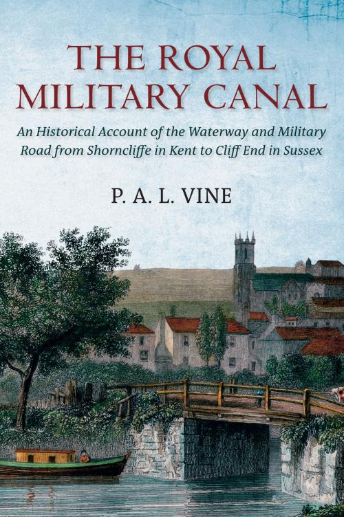
The Royal Military Canal was one of only two waterways built in Great Britain by the Government. Together with the Martello towers it was designed as a defence against the threatened invasion of the Kent Coast by the Emperor Napoleon in 1805. The sixty-foot -wide waterway stretched 28 miles from beneath the cliff s at Sandgate and around Romney Marsh to Rye in Sussex. Here the Brede Navigation continued to Winchelsea and thence across Pett Level to Cliff End. After Nelson's victory at Trafalgar, the canal and military road was used for transporting troops by barge between Rye and Shorncliffe Camp. It was also opened up to commercial traffic. Between 1810 and 1867 the cost of maintenance was partially offset by the receipt of barge and waggon tolls which together with rents exceeded on average GBP1,200 a year. The book also deals with the proposed Weald of Kent Canal and gives a detailed account of the work of the Royal Staff Corps, who built the canal and of the transport services provided by the Royal Waggon Train. In 1877 the War Department leased part of the canal to the Lords of Romney Marsh and to the Corporation of the Hythe. In 1909 the last barge passed through Iden Lock. Nowadays the Environment Agency and Hythe Corporation have improved the canal's infrastructure by providing historic information about the waterway and its locality and by ensuring the good maintenance of facilities for anglers, pleasure boaters and walkers. This edition, first published 38 years ago, has been carefully revised. As well as new illustrations, included for the first time are plans showing the former location of the 15 station houses built to accommodate the canal's sentries. Military historians, canal enthusiasts and local residents will find the book of considerable interest.
The Royal Military Canal was one of only two waterways built in Great Britain by the Government. Together with the Martello towers it was designed as a defence against the threatened invasion of the Kent Coast by the Emperor Napoleon in 1805. The sixty-foot -wide waterway stretched 28 miles from beneath the cliff s at Sandgate and around Romney Marsh to Rye in Sussex. Here the Brede Navigation continued to Winchelsea and thence across Pett Level to Cliff End. After Nelson's victory at Trafalgar, the canal and military road was used for transporting troops by barge between Rye and Shorncliffe Camp. It was also opened up to commercial traffic. Between 1810 and 1867 the cost of maintenance was partially offset by the receipt of barge and waggon tolls which together with rents exceeded on average GBP1,200 a year. The book also deals with the proposed Weald of Kent Canal and gives a detailed account of the work of the Royal Staff Corps, who built the canal and of the transport services provided by the Royal Waggon Train. In 1877 the War Department leased part of the canal to the Lords of Romney Marsh and to the Corporation of the Hythe. In 1909 the last barge passed through Iden Lock. Nowadays the Environment Agency and Hythe Corporation have improved the canal's infrastructure by providing historic information about the waterway and its locality and by ensuring the good maintenance of facilities for anglers, pleasure boaters and walkers. This edition, first published 38 years ago, has been carefully revised. As well as new illustrations, included for the first time are plans showing the former location of the 15 station houses built to accommodate the canal's sentries. Military historians, canal enthusiasts and local residents will find the book of considerable interest.


