| Author: | Doug Gelbert | ISBN: | 9781465990488 |
| Publisher: | Doug Gelbert | Publication: | October 13, 2011 |
| Imprint: | Smashwords Edition | Language: | English |
| Author: | Doug Gelbert |
| ISBN: | 9781465990488 |
| Publisher: | Doug Gelbert |
| Publication: | October 13, 2011 |
| Imprint: | Smashwords Edition |
| Language: | English |
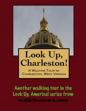
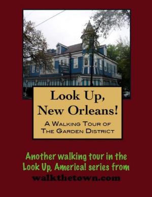
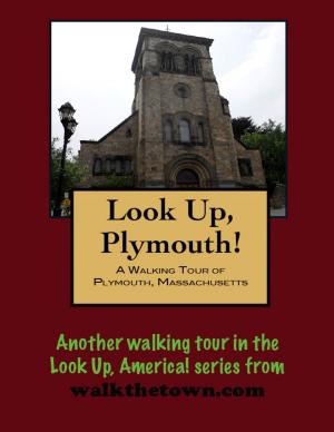
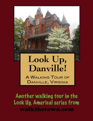
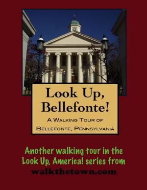
There is no better way to see America than on foot. And there is no better way to appreciate what you are looking at than with a walking tour. Whether you are preparing for a road trip or just out to look at your own town in a new way, a downloadable walking tour is ready to explore when you are.
Each walking tour describes historical and architectural landmarks and provides pictures to help out when those pesky street addresses are missing. Every tour also includes a quick primer on identifying architectural styles seen on American streets.
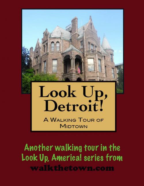
When the District of Columbia was designated to be the nation's capital there was no city. Building started from scratch based on a street plan drawn up by Pierre Charles L'Enfant that sent broad avenues radiating through circles and plazas. When Detroit was named the capital of the Michigan territory in 1805 before the new government could get up and running the entire settlement burned to the ground so it too was starting from scratch. Justice Augustus B. Woodward based his street grid for Detroit on L'Enfant's plan for Washington. Woodward ran all his streets from the central hub of Grand Circus Park.
The main thoroughfare extending away from the River was Woodward Avenue and it has been the town's major artery for more than 200 years. The land beyond the downtown area was parceled out in ribbon farms that ran north away from the Detroit River. A typical ribbon farm might be 250 feet wide and up to three miles long. Some of the owners of these farms included Lewis Cass and Elijah Brush, names that resonate in Detroit today.
The areas along the east and west sides of Woodward Avenue did not begin developing until after the Civil War the more well-to-do in the town began to buy up land and build houses away from the bustle of the city. Streetcar lines were established in the 1860s to serve these new "commuters." Commercialization began rearing its voracious head early in the 20th century, much of it related to the new automobile industry. Not all the neighborhoods were devoured but as the people began settling further north, this became "Midtown."
After World War II educational and cultural institutions began holding sway over this area which continues to this day. The mixed-use community today includes churches, mansions, middle class homes, hotels and apartment buildings, schools, clubs, utility buildings but we will start our walking tour of Midtown at the museums...
There is no better way to see America than on foot. And there is no better way to appreciate what you are looking at than with a walking tour. Whether you are preparing for a road trip or just out to look at your own town in a new way, a downloadable walking tour is ready to explore when you are.
Each walking tour describes historical and architectural landmarks and provides pictures to help out when those pesky street addresses are missing. Every tour also includes a quick primer on identifying architectural styles seen on American streets.
When the District of Columbia was designated to be the nation's capital there was no city. Building started from scratch based on a street plan drawn up by Pierre Charles L'Enfant that sent broad avenues radiating through circles and plazas. When Detroit was named the capital of the Michigan territory in 1805 before the new government could get up and running the entire settlement burned to the ground so it too was starting from scratch. Justice Augustus B. Woodward based his street grid for Detroit on L'Enfant's plan for Washington. Woodward ran all his streets from the central hub of Grand Circus Park.
The main thoroughfare extending away from the River was Woodward Avenue and it has been the town's major artery for more than 200 years. The land beyond the downtown area was parceled out in ribbon farms that ran north away from the Detroit River. A typical ribbon farm might be 250 feet wide and up to three miles long. Some of the owners of these farms included Lewis Cass and Elijah Brush, names that resonate in Detroit today.
The areas along the east and west sides of Woodward Avenue did not begin developing until after the Civil War the more well-to-do in the town began to buy up land and build houses away from the bustle of the city. Streetcar lines were established in the 1860s to serve these new "commuters." Commercialization began rearing its voracious head early in the 20th century, much of it related to the new automobile industry. Not all the neighborhoods were devoured but as the people began settling further north, this became "Midtown."
After World War II educational and cultural institutions began holding sway over this area which continues to this day. The mixed-use community today includes churches, mansions, middle class homes, hotels and apartment buildings, schools, clubs, utility buildings but we will start our walking tour of Midtown at the museums...