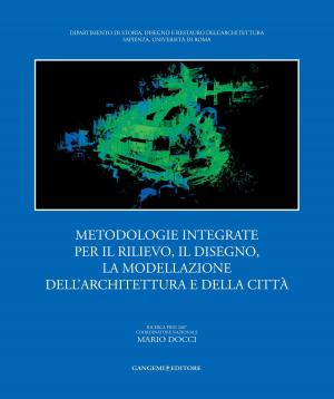
Editoriale – Il ruolo dei modelli virtuali 3D nella conservazione del patrimonio architettonico e archeologico | Editorial - The role of virtual 3D models in the conservation of architectural and archaeological heritage
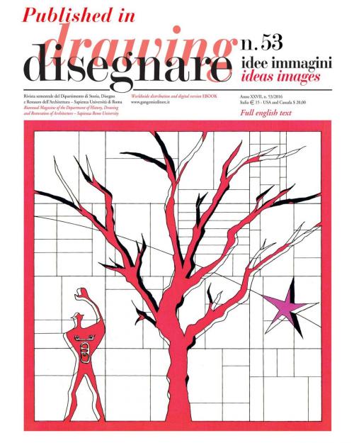
Published in Disegnare idee immagini 53/2016. Rivista semestrale del Dipartimento di Storia, Disegno e Restauro dell’Architettura “Sapienza” Università di Roma | Biannual Magazine of the Department of History, Drawing and Restoration of Architecture
Nonfiction, Art & Architecture, Architecture| Author: | Mario Docci, Carlo Bianchini | ISBN: | 9788849296853 |
| Publisher: | Gangemi Editore | Publication: | March 8, 2017 |
| Imprint: | Gangemi Editore | Language: | Italian |
| Author: | Mario Docci, Carlo Bianchini |
| ISBN: | 9788849296853 |
| Publisher: | Gangemi Editore |
| Publication: | March 8, 2017 |
| Imprint: | Gangemi Editore |
| Language: | Italian |
Nell’ultimo ventennio i professionisti che operano nel rilevamento mediante l’uso di laser scanner e della fotomodellazione hanno dovuto sempre più spesso elaborare dei modelli virtuali 3D non potendo operare direttamente sulla nuvola di punti, ma dovendola fare oggetto di trasformazioni. Infatti tali modelli, dopo essere stati acquisiti, dovevano essere rielaborati al fine di evitare un errore di carattere concettuale commesso da alcuni rilevatori poco accorti o da imprese volte a massimizzare il profitto, i quali utilizzavano la nuvola di punti orientata per ricavarne direttamente le rappresentazioni bidimensionali quali piante, prospetti e sezioni. Questa scorciatoia faceva però sì che alcuni punti caratterizzanti l’opera non fossero presenti fra quelli, numerosissimi, acquisiti; si pensi ad esempio a punti appartenenti a spigoli o all’intersezione di più rette. Pertanto molti rilevatori, tra i quali anche chi scrive, sono stati costretti a rielaborare le proprie nuvole di punti, in quanto esse altro non erano che un insieme di moltissimi punti e dunque si presentavano come un modello numerico; le opere architettoniche o archeologiche sono invece definite da molteplici superfici di varia natura e pertanto sono assimilabili a modelli di tipo geometrico o matematico che dire si voglia. | In the last twenty years any professional who used a laser scanner and photomodelling to perform a survey was increasingly forced to elaborate virtual 3D models. Since it was impossible to work directly on a points cloud the latter had to be transformed. In fact, after acquisition these models had to be re-elaborated to avoid the conceptual mistake made either by less meticulous surveyors or by companies looking for maximum gain, i.e., companies using the oriented points cloud to quickly obtain 2D representations such as plans, elevations and sections. This shortcut, however, meant that some of the characteristic points of the object were not present amongst the countless points that were acquired. Think, for example, of the points of corners or the intersection between straight lines. As a result, many surveyors, including us, were forced to re-elaborate their points clouds because they were nothing but a set of countless points that appeared as a numerical model. Instead architectural or archaeological objects have different kinds of multiple surfaces and are therefore similar to either geometric or mathematical models.
Nell’ultimo ventennio i professionisti che operano nel rilevamento mediante l’uso di laser scanner e della fotomodellazione hanno dovuto sempre più spesso elaborare dei modelli virtuali 3D non potendo operare direttamente sulla nuvola di punti, ma dovendola fare oggetto di trasformazioni. Infatti tali modelli, dopo essere stati acquisiti, dovevano essere rielaborati al fine di evitare un errore di carattere concettuale commesso da alcuni rilevatori poco accorti o da imprese volte a massimizzare il profitto, i quali utilizzavano la nuvola di punti orientata per ricavarne direttamente le rappresentazioni bidimensionali quali piante, prospetti e sezioni. Questa scorciatoia faceva però sì che alcuni punti caratterizzanti l’opera non fossero presenti fra quelli, numerosissimi, acquisiti; si pensi ad esempio a punti appartenenti a spigoli o all’intersezione di più rette. Pertanto molti rilevatori, tra i quali anche chi scrive, sono stati costretti a rielaborare le proprie nuvole di punti, in quanto esse altro non erano che un insieme di moltissimi punti e dunque si presentavano come un modello numerico; le opere architettoniche o archeologiche sono invece definite da molteplici superfici di varia natura e pertanto sono assimilabili a modelli di tipo geometrico o matematico che dire si voglia. | In the last twenty years any professional who used a laser scanner and photomodelling to perform a survey was increasingly forced to elaborate virtual 3D models. Since it was impossible to work directly on a points cloud the latter had to be transformed. In fact, after acquisition these models had to be re-elaborated to avoid the conceptual mistake made either by less meticulous surveyors or by companies looking for maximum gain, i.e., companies using the oriented points cloud to quickly obtain 2D representations such as plans, elevations and sections. This shortcut, however, meant that some of the characteristic points of the object were not present amongst the countless points that were acquired. Think, for example, of the points of corners or the intersection between straight lines. As a result, many surveyors, including us, were forced to re-elaborate their points clouds because they were nothing but a set of countless points that appeared as a numerical model. Instead architectural or archaeological objects have different kinds of multiple surfaces and are therefore similar to either geometric or mathematical models.
