| Author: | Duane Vandenbusche | ISBN: | 9781439625064 |
| Publisher: | Arcadia Publishing Inc. | Publication: | June 28, 2010 |
| Imprint: | Arcadia Publishing | Language: | English |
| Author: | Duane Vandenbusche |
| ISBN: | 9781439625064 |
| Publisher: | Arcadia Publishing Inc. |
| Publication: | June 28, 2010 |
| Imprint: | Arcadia Publishing |
| Language: | English |
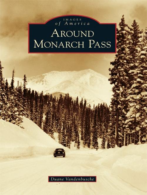
Monarch Country is an incredibly beautiful mountain region spanning both sides of the Continental Divide in the southern portions of Chaffee and Gunnison Counties in the Rocky Mountains of south-central Colorado. Monarch Pass, at 11,312 feet above sea level, divides the Gunnison Country in the west from the Arkansas River watershed in the east. This scenic, wild, and rugged region surrounding the crossroads of U.S. Routes 50 and 285 is rich in mining, railroad, and skiing history and once included booming mining camps such as Maysville, Garfield, Monarch, and White Pine. The crown jewel of this spectacular high-country landscape is the Monarch Ski Area, which enjoys 350 to 500 inches of snowfall every year.
Monarch Country is an incredibly beautiful mountain region spanning both sides of the Continental Divide in the southern portions of Chaffee and Gunnison Counties in the Rocky Mountains of south-central Colorado. Monarch Pass, at 11,312 feet above sea level, divides the Gunnison Country in the west from the Arkansas River watershed in the east. This scenic, wild, and rugged region surrounding the crossroads of U.S. Routes 50 and 285 is rich in mining, railroad, and skiing history and once included booming mining camps such as Maysville, Garfield, Monarch, and White Pine. The crown jewel of this spectacular high-country landscape is the Monarch Ski Area, which enjoys 350 to 500 inches of snowfall every year.
