| Author: | Donald Bates-Brands | ISBN: | 9781465987129 |
| Publisher: | Donald Bates-Brands | Publication: | November 28, 2011 |
| Imprint: | Smashwords Edition | Language: | English |
| Author: | Donald Bates-Brands |
| ISBN: | 9781465987129 |
| Publisher: | Donald Bates-Brands |
| Publication: | November 28, 2011 |
| Imprint: | Smashwords Edition |
| Language: | English |
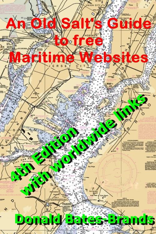
More years ago than I care to admit, I was a junior quartermaster on a Coast Guard Cutter. I had the job of maintaining and looking up all sorts of nautical information and Federal laws. In the age of paper this could sometimes be a daunting task. It could take hours if you didn't fully know your way through the labyrinth of paper produced by our government. (I didn't) Today you can find this information on the Internet very quickly.
Another source of difficulty and expense in the age of paper was to acquire, pay for and store all of the necessary charts and publications necessary to properly operate a vessel. Today you can search government records and download charts, publications and other nautical information directly from the Internet. Furthermore, what a lot of people don't realize is that the US government gives away all of this information for free. It's free as long as you access and download it yourself in electronic form over the Internet. You can still buy paper versions, but even these are no longer provided by the government. They are reprints from government information. Some are authorized reprints under government sanction and others have no legal/official value as they lack that sanction.
All vessels can download these electronic publications for free. Commercial vessels can still be in full compliance with the laws for carriage of this information as long as they can show a correction procedure for them and redundancy. It is required to have a backup computer system for this data. Nautical charts can be carried in electronic form as well, but most commercial interests are still required to carry paper charts anyway. They can use the electronic variety, but paper charts need to be available. That will probably change in the near future. So the reality for many commercial vessels is to buy and correct paper charts up to date while actually using the electronic variety. I have actually taken a two week trip from Louisiana to New York using only my laptop computer for reference and navigation. Be sure to have a backup in the form of paper or another computer (I did) anything can happen.
Correcting these publications and charts to the latest Notice to Mariners is not as bad or difficult as it sounds. Corrections are downloadable for each in the same locations where you find the main publication. With charts it's easier to just download new copies for your cruising area. I do this monthly, remember, they're free.
Below is a list of the various websites that I have found to be of use to the mariner. Some is real time information, like weather and sea conditions; other sites are for the charts and pubs that I have been discussing. Besides being extremely useful and convenient, these sites could save you anywhere from $100 to $1000 or more depending on your cruising area or voyage intentions. All web locations are hyperlinked for easy reference.
