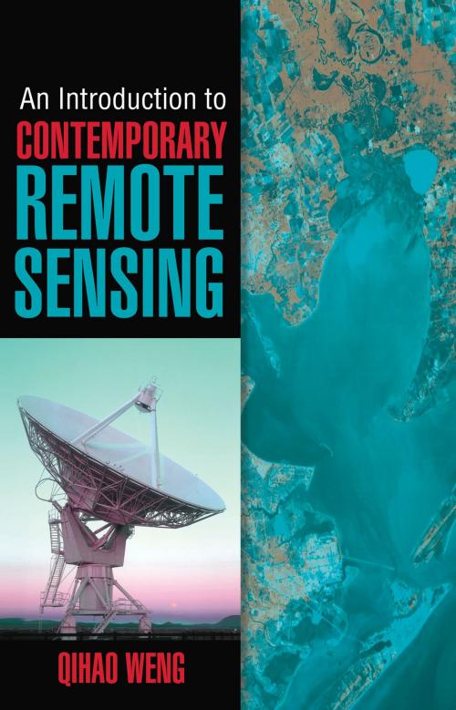
An Introduction to Contemporary Remote Sensing
Nonfiction, Science & Nature, Technology, Telecommunications| Author: | Qihao Weng | ISBN: | 9780071740128 |
| Publisher: | McGraw-Hill Education | Publication: | November 18, 2011 |
| Imprint: | McGraw-Hill Education | Language: | English |
| Author: | Qihao Weng |
| ISBN: | 9780071740128 |
| Publisher: | McGraw-Hill Education |
| Publication: | November 18, 2011 |
| Imprint: | McGraw-Hill Education |
| Language: | English |
A PRACTICAL, FULL-COLOR GUIDE TO REMOTE SENSING
Written by an internationally renowned expert in the field, An Introduction to Contemporary Remote Sensing introduces the latest developments in remote sensing and imaging science. This book covers basic principles and discusses essential technologies, such as aerial photography, radar, Lidar (light detection and ranging), photogrammetry, satellites, thermal radiation, and much more. Full-color images illustrate the concepts presented, and review questions at the end of each chapter help reinforce learning. This detailed resource provides the solid foundation in remote sensing required for developing diverse geospatial applications.
Coverage includes:
- Geographic information system (GIS)
- Global positioning system (GPS), mobile mapping, and Google Earth
- Electromagnetic radiation principles
- Characteristics of remotely sensed data
- Spatial, spectral, radiometric, and temporal resolution
- Aerial photo interpretation
- Photogrammetry
- Remote sensors
- Earth observation satellites
- Digital image analysis
- Thermal remote sensing
- Active remote sensing


