| Author: | Doug Gelbert | ISBN: | 9781458080448 |
| Publisher: | Doug Gelbert | Publication: | February 8, 2011 |
| Imprint: | Smashwords Edition | Language: | English |
| Author: | Doug Gelbert |
| ISBN: | 9781458080448 |
| Publisher: | Doug Gelbert |
| Publication: | February 8, 2011 |
| Imprint: | Smashwords Edition |
| Language: | English |
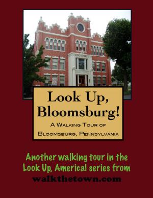
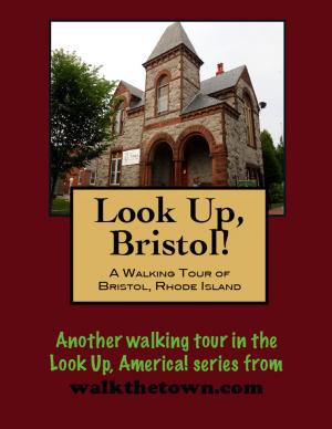
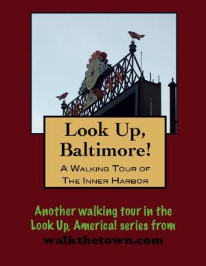
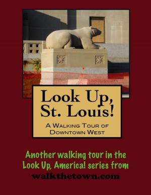
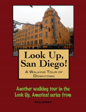
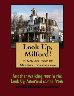
There is no better way to see America than on foot. And there is no better way to appreciate what you are looking at than with a walking tour. Whether you are preparing for a road trip or just out to look at your own town in a new way, a downloadable walking tour is ready to explore when you are.
Each walking tour describes historical and architectural landmarks and provides pictures to help out when those pesky street addresses are missing. Every tour also includes a quick primer on identifying architectural styles seen on American streets.
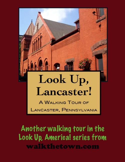
Most of the land that would become the City of Lancaster was owned by Andrew Hamilton. The settlement here was known as “Hickory Town” and dated to 1709. Andrew’s son James was deeded 500 acres of this land in 1733, and designed the layout of the city in a plan of straight streets and rectangular property lots. Lancaster thus became the first inland city in the United States. Still very much linking to England, the new town adopted the symbol of the red rose from the mother country. The town became a borough in 1742 and a chartered city in 1818.
During the Revolutionary War, Lancaster was an important munitions center, and when the British captured Philadelphia the Continental Congress headed here, the largest inland city in America at the time. The Congress only stayed a day, however, September 27, 1777, before moving on to York where they could put the Susquehanna River between them and the British.
The colonial city owed its early prosperity to its strategic position at a transportation crossroads. After the American Revolution, the city of Lancaster became an iron-foundry center. Two of the most common products needed by pioneers to settle the Frontier were manufactured in Lancaster: the Conestoga wagon and the Pennsylvania long rifle. The Conestoga wagon was named after the Conestoga River, which runs through the city.
In 1795 the Philadelphia and Lancaster Turnpike opened, linking the two cities. It was considered the first engineered long-distance road in the United States, designed by Scottish engineer John Loudon MacAdam. It became the first paved road in the country and later a link in the Lincoln Highway, the first transcontinental road.
Our walking tour will head right down that historic road in the center of Lancaster, starting in a town square that existed in the original platting of the town as “Centre Square” but is known today as Penn Square...
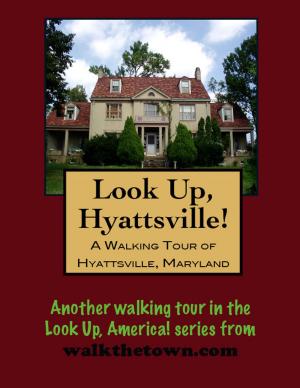
There is no better way to see America than on foot. And there is no better way to appreciate what you are looking at than with a walking tour. Whether you are preparing for a road trip or just out to look at your own town in a new way, a downloadable walking tour is ready to explore when you are.
Each walking tour describes historical and architectural landmarks and provides pictures to help out when those pesky street addresses are missing. Every tour also includes a quick primer on identifying architectural styles seen on American streets.
Most of the land that would become the City of Lancaster was owned by Andrew Hamilton. The settlement here was known as “Hickory Town” and dated to 1709. Andrew’s son James was deeded 500 acres of this land in 1733, and designed the layout of the city in a plan of straight streets and rectangular property lots. Lancaster thus became the first inland city in the United States. Still very much linking to England, the new town adopted the symbol of the red rose from the mother country. The town became a borough in 1742 and a chartered city in 1818.
During the Revolutionary War, Lancaster was an important munitions center, and when the British captured Philadelphia the Continental Congress headed here, the largest inland city in America at the time. The Congress only stayed a day, however, September 27, 1777, before moving on to York where they could put the Susquehanna River between them and the British.
The colonial city owed its early prosperity to its strategic position at a transportation crossroads. After the American Revolution, the city of Lancaster became an iron-foundry center. Two of the most common products needed by pioneers to settle the Frontier were manufactured in Lancaster: the Conestoga wagon and the Pennsylvania long rifle. The Conestoga wagon was named after the Conestoga River, which runs through the city.
In 1795 the Philadelphia and Lancaster Turnpike opened, linking the two cities. It was considered the first engineered long-distance road in the United States, designed by Scottish engineer John Loudon MacAdam. It became the first paved road in the country and later a link in the Lincoln Highway, the first transcontinental road.
Our walking tour will head right down that historic road in the center of Lancaster, starting in a town square that existed in the original platting of the town as “Centre Square” but is known today as Penn Square...