| Author: | Doug Gelbert | ISBN: | 9781458134776 |
| Publisher: | Doug Gelbert | Publication: | January 30, 2011 |
| Imprint: | Smashwords Edition | Language: | English |
| Author: | Doug Gelbert |
| ISBN: | 9781458134776 |
| Publisher: | Doug Gelbert |
| Publication: | January 30, 2011 |
| Imprint: | Smashwords Edition |
| Language: | English |
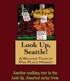
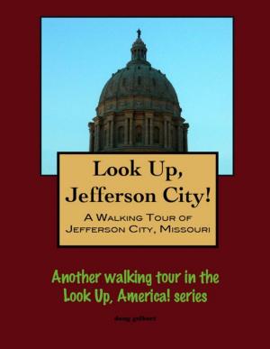
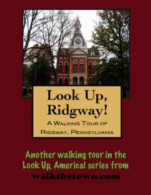
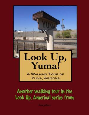
There is no better way to see America than on foot. And there is no better way to appreciate what you are looking at than with a walking tour. Whether you are preparing for a road trip or just out to look at your own town in a new way, a downloadable walking tour is ready to explore when you are.
Each walking tour describes historical and architectural landmarks and provides pictures to help out when those pesky street addresses are missing. Every tour also includes a quick primer on identifying architectural styles seen on American streets.
In 1736 Thomas Penn, son of William Penn, and Benjamin Eastburn, surveyor general, selected and surveyed the “Thousand Acre Tract” of land at the confluence of the Delaware and Lehigh Rivers. William Parsons and Nicholas Scull began their survey for a town in the 1750s at a spot called by the Indians “Lechanwitauk” or “the Place at the Forks.” The new town was to be called “Easton” in the new county of “Northampton.” The Great Square (now known as Centre Square) was, and remains, a gathering place for residents and travelers. In fact, on July 8,1776, the square was the site for one of only three readings of the Declaration of Independence. This historic event is celebrated each year on Heritage Day, when thousands gather to join in reenactments of the reading and to revel in entertainment, good food, and fireworks over the Delaware and Lehigh Rivers.
With the completion of the Lehigh Canal in 1829, the lands along the Lehigh River attracted great industrial development. The movement of the coal brought capital & investment to Easton. All along Canal Street was built one of the largest industrial manufacturing centers of America during the 1830s and 40s. Easton continued to prosper as a center for industry, manufacturing, commerce, and culture at the Forks of the Delaware and along the great rail lines.
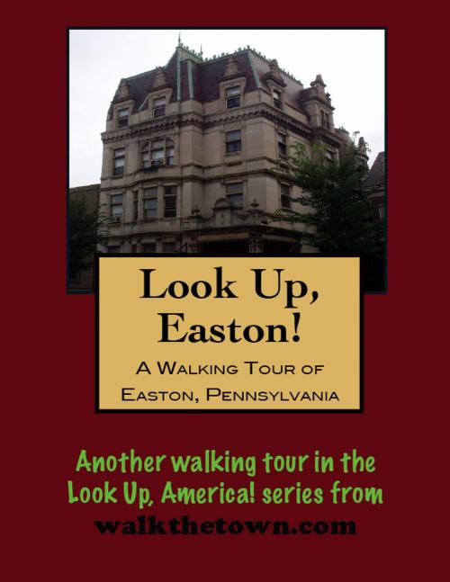
The Easton Historic District is an example of a relatively intact Victorian commercial center. Although the District contains historically and architecturally significant buildings from almost all periods of its development, edifices completed between 1830 and 1910 dominate its streetscapes. This period saw Easton’s prosperity at its height, due to its position at the junction of three major canals and five important railroads.
The Easton Historic District is situated on a peninsula that is generally bounded by the Bushkill Creek to the north, the Delaware River to the east and the Lehigh River to the south. The western limits of the District are marked by the crest of a series of hills.
The integrity of the Easton Historic District is highlighted by the fact that only twenty of its 425 buildings can be considered to be intrusions. There are forty-three significant buildings within the District, while the remainder of its structures can be considered to be contributing. The majority of the District’s buildings are utilized for commercial or residential purposes, while a number of buildings combine both functions. Although there are also many significant store buildings within the District’s boundaries, brick is the most commonly used building material.
Our walking tour will start in Centre Square, laid out in a grid pattern by William Parsons at the center of the city. The square has been the site of a courthouse for over 100 years, the place of that historic public airing of the Declaration of Independence, the location of important Indian Councils during the French and Indian War and a farmers’ market that has been operating since 1791...
There is no better way to see America than on foot. And there is no better way to appreciate what you are looking at than with a walking tour. Whether you are preparing for a road trip or just out to look at your own town in a new way, a downloadable walking tour is ready to explore when you are.
Each walking tour describes historical and architectural landmarks and provides pictures to help out when those pesky street addresses are missing. Every tour also includes a quick primer on identifying architectural styles seen on American streets.
In 1736 Thomas Penn, son of William Penn, and Benjamin Eastburn, surveyor general, selected and surveyed the “Thousand Acre Tract” of land at the confluence of the Delaware and Lehigh Rivers. William Parsons and Nicholas Scull began their survey for a town in the 1750s at a spot called by the Indians “Lechanwitauk” or “the Place at the Forks.” The new town was to be called “Easton” in the new county of “Northampton.” The Great Square (now known as Centre Square) was, and remains, a gathering place for residents and travelers. In fact, on July 8,1776, the square was the site for one of only three readings of the Declaration of Independence. This historic event is celebrated each year on Heritage Day, when thousands gather to join in reenactments of the reading and to revel in entertainment, good food, and fireworks over the Delaware and Lehigh Rivers.
With the completion of the Lehigh Canal in 1829, the lands along the Lehigh River attracted great industrial development. The movement of the coal brought capital & investment to Easton. All along Canal Street was built one of the largest industrial manufacturing centers of America during the 1830s and 40s. Easton continued to prosper as a center for industry, manufacturing, commerce, and culture at the Forks of the Delaware and along the great rail lines.
The Easton Historic District is an example of a relatively intact Victorian commercial center. Although the District contains historically and architecturally significant buildings from almost all periods of its development, edifices completed between 1830 and 1910 dominate its streetscapes. This period saw Easton’s prosperity at its height, due to its position at the junction of three major canals and five important railroads.
The Easton Historic District is situated on a peninsula that is generally bounded by the Bushkill Creek to the north, the Delaware River to the east and the Lehigh River to the south. The western limits of the District are marked by the crest of a series of hills.
The integrity of the Easton Historic District is highlighted by the fact that only twenty of its 425 buildings can be considered to be intrusions. There are forty-three significant buildings within the District, while the remainder of its structures can be considered to be contributing. The majority of the District’s buildings are utilized for commercial or residential purposes, while a number of buildings combine both functions. Although there are also many significant store buildings within the District’s boundaries, brick is the most commonly used building material.
Our walking tour will start in Centre Square, laid out in a grid pattern by William Parsons at the center of the city. The square has been the site of a courthouse for over 100 years, the place of that historic public airing of the Declaration of Independence, the location of important Indian Councils during the French and Indian War and a farmers’ market that has been operating since 1791...