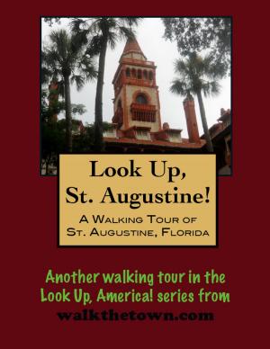
| Author: | Doug Gelbert | ISBN: | 9781458133298 |
| Publisher: | Doug Gelbert | Publication: | March 4, 2011 |
| Imprint: | Smashwords Edition | Language: | English |
| Author: | Doug Gelbert |
| ISBN: | 9781458133298 |
| Publisher: | Doug Gelbert |
| Publication: | March 4, 2011 |
| Imprint: | Smashwords Edition |
| Language: | English |
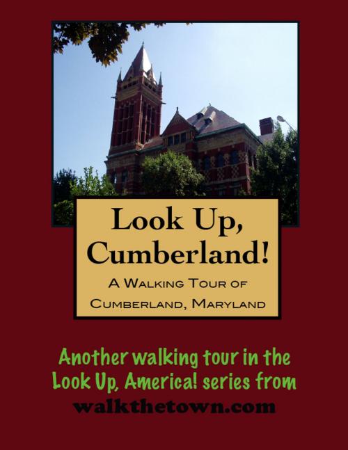
There is no better way to see America than on foot. And there is no better way to appreciate what you are looking at than with a walking tour. This walking tour of Cumberland, Maryland is ready to explore when you are. Each walking tour describes historical, architectural landmarks, cultural sites and ecclesiastic touchstones and provides step-by-step directions.
Every tour also includes a quick primer on identifying architectural styles seen on American streets.
In October 1749 Christopher Gist, an agent for the Ohio Company (land and trading) arrived at the junction of Wills Creek and the North Branch of the Potomac to erect a stockade and trading post. With the rumbling of the French and Indian War on the horizon in 1754 the little post was expanded into a hilltop fort on the west bank of Wills Creek called Fort Mount Pleasant. British general Edward Braddock arrived the next year to launch a campaign on Fort Duquesne (today’s Pittsburgh) and renamed the expanded fort for the Duke of Cumberland, head of the British Army.
The city took the name of its historic fort in 1787, after being known for several years as “Washington Town” since this was where a young George Washington accepted his first military command. Cumberland evolved into a “Gateway to the West” at the edge of the American frontier. A key road, railroad and canal junction during the 1800s. at one time it was the second largest city in Maryland (second to the port city of Baltimore—hence its nickname “The Queen City”). And when the Federal Government decided to fund the first National Highway, it was in Cumberland where the road began.
The surrounding hillsides provided coal, iron ore, and timber insured the prosperity of the community through the first part of the 1900s. But the Great Depression of the 1930’s hit the region hard. Then, as coal became less valuable as a resource and when industry converted back to peacetime operations following World War II, Cumberland went into a steady economic decline which continues to this day. Along with the economic decline, the population has declined due to an out migration of the work force. The population declined from 39,483 residents in the 1940 census to fewer than 22,000 today.
The result has been that Cumberland’s physical appearance remains much like it was in the 1930’s, which had been it’s heyday. Most of the buildings were constructed between 1860 and 1930. The architecture, both public buildings and residential dwellings, remains largely intact, save for altered street level entrances. Contributing to this quaint and antique appearance has been the historic preservation of the downtown business area as well as the Washington Street Historical Preservation District.
Our walking tour will start in the historic Western Maryland Railway Center, now a centrally located tourist center with plenty of parking...
