| Author: | Doug Gelbert | ISBN: | 9781458192646 |
| Publisher: | Doug Gelbert | Publication: | January 30, 2011 |
| Imprint: | Smashwords Edition | Language: | English |
| Author: | Doug Gelbert |
| ISBN: | 9781458192646 |
| Publisher: | Doug Gelbert |
| Publication: | January 30, 2011 |
| Imprint: | Smashwords Edition |
| Language: | English |
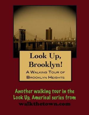
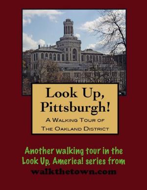
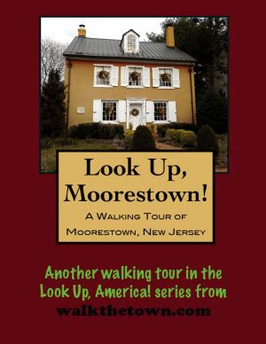
There is no better way to see America than on foot. And there is no better way to appreciate what you are looking at than with a walking tour. Whether you are preparing for a road trip or just out to look at your own town in a new way, a downloadable walking tour from is ready to explore when you are.
Each walking tour describes historical and architectural landmarks and provides pictures to help out when those pesky street addresses are missing. Every tour also includes a quick primer on identifying architectural styles seen on American streets.
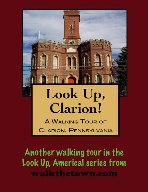
Clarion County was created as the 54th of Pennyslvania’s 67 counties on March 11, 1839, from parts of Venango and Armstrong counties. The Clarion River was the dividing line between the two mother counties was in early times known as Stump Creek and Toby’s Creek. In 1817, the legislature passed an Act, authorizing the survey of a state road from Indiana to Franklin. The surveyors selected were David Lawson and Daniel Stannard. While lying in their tent one night, along Toby Creek, which was heavily fringed by a wall of close and massive timber, they noticed this wall condensed and reflected the murmur of the stream, giving it a silvery mellowness. Stannard remarked, “The water sounds like a distant clarion.” And so Pennsylvania got a name for a river, a county, and, a town.
Sometime in the fall of 1839, the town plot containing 200 acres, was surveyed by John Sloan, Jr. There were 275 in-lots and 50 out-lots. The public sale of the lots began October 30, 1839 and continued for three days. The highest price for a lot was $757.50 and the next in value was sold for $560.00.
The community was incorporated as a borough in 1841 and lay along the historic overland Susquehanna and Waterford Turnpike (later known as the Lakes-to-Sea Highway and now U.S. Route 322). Large stands of virgin timber provided the impetus for the first industry; later, local sand reserves helped make Clarion known as a producer of glass bottles. Clarion also prospered during the region’s oil boom f the 1860s and 1870s. Around that time the Carrier Seminary was established in Clarion; it eventually became Clarion University of Pennsylvania, and continues to be among the leading economic forces in the community.
Our walking tour will begin in a small park dedicated to America’s veterans, opposite the town’s most obvious landmark...
There is no better way to see America than on foot. And there is no better way to appreciate what you are looking at than with a walking tour. Whether you are preparing for a road trip or just out to look at your own town in a new way, a downloadable walking tour from is ready to explore when you are.
Each walking tour describes historical and architectural landmarks and provides pictures to help out when those pesky street addresses are missing. Every tour also includes a quick primer on identifying architectural styles seen on American streets.
Clarion County was created as the 54th of Pennyslvania’s 67 counties on March 11, 1839, from parts of Venango and Armstrong counties. The Clarion River was the dividing line between the two mother counties was in early times known as Stump Creek and Toby’s Creek. In 1817, the legislature passed an Act, authorizing the survey of a state road from Indiana to Franklin. The surveyors selected were David Lawson and Daniel Stannard. While lying in their tent one night, along Toby Creek, which was heavily fringed by a wall of close and massive timber, they noticed this wall condensed and reflected the murmur of the stream, giving it a silvery mellowness. Stannard remarked, “The water sounds like a distant clarion.” And so Pennsylvania got a name for a river, a county, and, a town.
Sometime in the fall of 1839, the town plot containing 200 acres, was surveyed by John Sloan, Jr. There were 275 in-lots and 50 out-lots. The public sale of the lots began October 30, 1839 and continued for three days. The highest price for a lot was $757.50 and the next in value was sold for $560.00.
The community was incorporated as a borough in 1841 and lay along the historic overland Susquehanna and Waterford Turnpike (later known as the Lakes-to-Sea Highway and now U.S. Route 322). Large stands of virgin timber provided the impetus for the first industry; later, local sand reserves helped make Clarion known as a producer of glass bottles. Clarion also prospered during the region’s oil boom f the 1860s and 1870s. Around that time the Carrier Seminary was established in Clarion; it eventually became Clarion University of Pennsylvania, and continues to be among the leading economic forces in the community.
Our walking tour will begin in a small park dedicated to America’s veterans, opposite the town’s most obvious landmark...