| Author: | James L. Bildner | ISBN: | 9780071491921 |
| Publisher: | McGraw-Hill Education | Publication: | June 2, 2010 |
| Imprint: | International Marine/Ragged Mountain Press | Language: | English |
| Author: | James L. Bildner |
| ISBN: | 9780071491921 |
| Publisher: | McGraw-Hill Education |
| Publication: | June 2, 2010 |
| Imprint: | International Marine/Ragged Mountain Press |
| Language: | English |
WHEN YOU NAVIGATE THE COAST OF MAINE, A PICTURE IS WORTH A THOUSAND WORDS
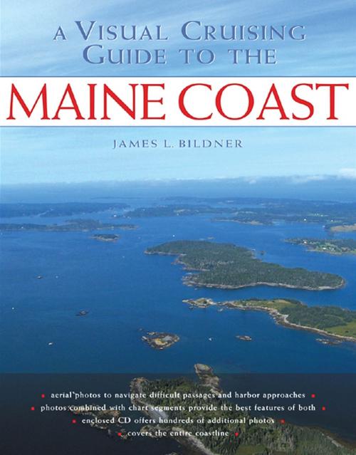
A Visual Cruising Guide to the Maine Coast takes the guesswork out of navigating Maine’s intricate, reef-strewn waters, ensuring that your next voyage through this coastal paradise will be picture-perfect.
Inside you will find more than 180 full-color aerial photographs that provide "by-the-picture” navigational guidance for Maine’s treasured harbors, difficult passages, and hidden approaches. Author James Bildner has added chart segments and recommended course lines to these low-altitude photos, giving you a unique, at-a-glance guide to sailing around Maine. It’s like cruising with a masthead lookout to point the way.
• Text descriptions of area with piloting instructions
• Labeled approach lines
• Low-angled photos with key navigation aides labeled
• Chart segments from high resolution NOAA charts


